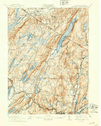
1910 Map of Greenwood Lake
USGS Topo · Published 1942About this map
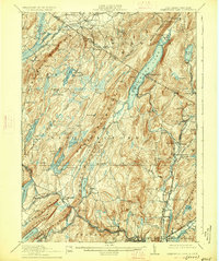
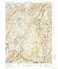
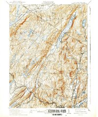
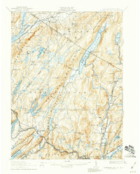
Greenwood Lake serves as a central anchor for this rugged Highland borderland, where the New York New Jersey Boundary Line cuts across steep ridges and deep glacial waters. The landscape reflects an early industrial economy driven by iron ore and rail transport, evidenced by the extensive Ringwood Mines and isolated operations like Parker Mine and Williams Mine. In the valleys, the Erie Railroad and New York Susquehanna And Western R.R. provided vital connections for rural settlements such as West Milford and Newfoundland. Small community hubs are marked by local landmarks like the Parker School and Scruboak School, while the developing water infrastructure is visible in the Canistear Reservoir and Oak-Ridge Reservoir. The distribution of Furnace and mining labels suggests a region where the natural geology dictated both the placement of industry and the winding paths of the early mountain roads.
Find a feature on this map
122 named features on this map. Tap any name to fly to it.
Don’t see what you’re looking for? This feature index may not catch every label — zoom into the map to look around manually.
Map Details
Editions of this 1910 Greenwood Lake Map
9 editions found

Other maps of this area

1888 · Franklin
USGS Topo · 1:62,500

1888 · Morristown
USGS Topo · 1:62,500

1888 · Lake Hopatcong
USGS Topo · 1:62,500

1888 · Paterson
USGS Topo · 1:62,500

1891 · Greenwood Lake
USGS Topo · 1:62,500

1891 · Ramapo
USGS Topo · 1:62,500

1892 · Paterson
USGS Topo · 1:62,500

1893 · Greenwood Lake
USGS Topo · 1:62,500

1893 · Ramapo
USGS Topo · 1:62,500

1894 · Morristown
USGS Topo · 1:62,500