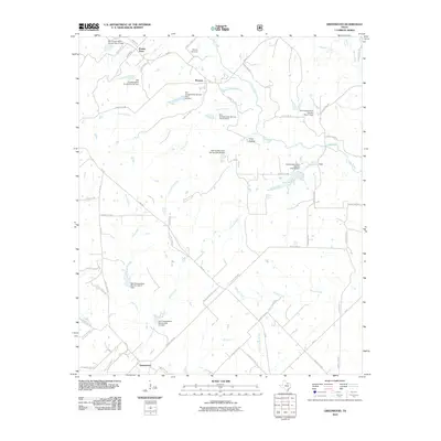
2010 Map of Greenwood
USGS Topo · Published 2010About this map
Rosston and Greenwood anchor this North Texas landscape, where the drainage networks of the Red River basin define the local geography. The map documents an area deeply integrated with water management, evidenced by the numerous Soil Conservation Service dams scattered throughout the terrain, such as Soil Conservation Service Site 34 Dam and Soil Conservation Service Site 31 Dam. These structures are situated along winding waterways like Clear Creek and Fannin Creek, reflecting twentieth-century efforts to stabilize the soil and control runoff in this rural expanse.
Find a feature on this map
71 named features on this map. Tap any name to fly to it.
Don’t see what you’re looking for? This feature index may not catch every label — zoom into the map to look around manually.
Map Details
Editions of this 2010 Greenwood Map
This is the sole edition of this map. No revisions or reprints were ever made.
Other maps of this area

1902 · Gainesville
USGS Topo · 1:125,000

1905 · Montague
USGS Topo · 1:125,000

1943 · Gainesville
USGS Topo · 1:125,000

1954 · Sherman
USGS Topo · 1:250,000

1958 · Sherman
USGS Topo · 1:250,000

1961 · Pecan Creek
USGS Topo · 1:24,000

1961 · Freemound
USGS Topo · 1:24,000

1961 · New Harp
USGS Topo · 1:24,000

1961 · Era
USGS Topo · 1:24,000

1961 · Slidell
USGS Topo · 1:24,000