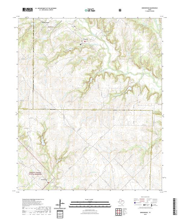
2022 Map of Greenwood
USGS Topo · Published 2022About this map
Greenwood and Rosston anchor this landscape along the complex intersection of four North Texas counties. This area is defined by the headwaters and winding branches of Fannin Creek, Clear Creek, and Whites Cr, creating a broken terrain that transitions into the protected acreage of the Lyndon B. Johnson National Grassland in the southwest. The presence of Rosston Cem, Bewley Cem, and Moss Cem provides essential points of reference for genealogists tracking early settler families in the region between Prairie Point and the Denton County line. The settlement pattern here is dictated by the creek valleys and ranch roads, with distinctive landmarks like the Tightwaad Air Ranch Airport and the winding course of Cove Hollow highlighting the area's rural character. A dense network of county roads, such as Co RD 347 and Fortenberry Rd, connects the scattered farmsteads and ranching properties that have long defined the local economy.
Find a feature on this map
80 named features on this map. Tap any name to fly to it.
Don’t see what you’re looking for? This feature index may not catch every label — zoom into the map to look around manually.
Map Details
Editions of this 2022 Greenwood Map
This is the sole edition of this map. No revisions or reprints were ever made.
Other maps of this area

1902 · Gainesville
USGS Topo · 1:125,000

1905 · Montague
USGS Topo · 1:125,000

1943 · Gainesville
USGS Topo · 1:125,000

1954 · Sherman
USGS Topo · 1:250,000

1958 · Sherman
USGS Topo · 1:250,000

1961 · Pecan Creek
USGS Topo · 1:24,000

1961 · Freemound
USGS Topo · 1:24,000

1961 · New Harp
USGS Topo · 1:24,000

1961 · Era
USGS Topo · 1:24,000

1961 · Slidell
USGS Topo · 1:24,000