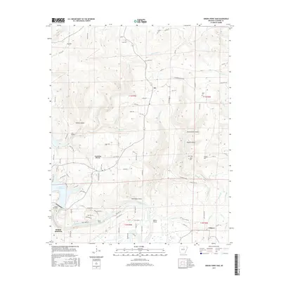
2017 Map of Greers Ferry Dam
USGS Topo · Published 2017About this map
Greers Ferry Dam stands as the central engineering landmark of this Cleburne County region, regulating the waters where Greers Ferry Lake transitions into the Little Red River. The settlement of Heber Springs occupies the southwestern corner, serving as a gateway to the aquatic recreation and river shoals that define the local geography. To the east and north, the landscape is marked by a network of rural roads such as Richwood Mountain Rd and Dry Mountain Rd, connecting smaller communities like Ida, Tumbling Shoals, and Wilburn. The topography is characterized by numerous hollows and ridges, including Buzzard Roost Hollow and Rigdon Mtn. Local history is preserved in sites like Antioch Cem and Miller Cem, while the river downstream from the dam features notable natural points like Ritchie Shoals and Beech Island.
Find a feature on this map
101 named features on this map. Tap any name to fly to it.
Don’t see what you’re looking for? This feature index may not catch every label — zoom into the map to look around manually.
Map Details
Editions of this 2017 Greers Ferry Dam Map
This is the sole edition of this map. No revisions or reprints were ever made.
Other maps of this area
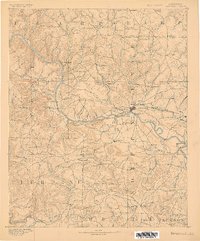
1890 · Batesville
USGS Topo · 1:125,000
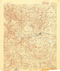
1891 · Batesville
USGS Topo · 1:125,000
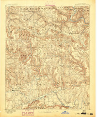
1892 · Mountain View
USGS Topo · 1:125,000
1894 · Mountain View
USGS Topo · 1:125,000
1942 · Almond
USGS Topo · 1:31,680

1953 · Memphis
USGS Topo · 1:250,000
1956 · Memphis
USGS Topo · 1:250,000
1956 · Russellville
USGS Topo · 1:250,000
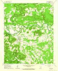
1962 · Pangburn
USGS Topo · 1:24,000
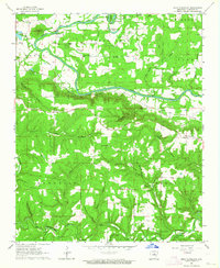
1963 · West Pangburn
USGS Topo · 1:24,000