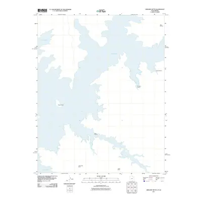
2011 Map of Gregory Butte
USGS Topo · Published 2011About this map
Lake Powell dominates this high-desert landscape along the Arizona-Utah border, its complex fingers and bays reaching deep into the sandstone architecture of the Colorado Plateau. The topography is defined by significant landmarks such as Gregory Butte and the high elevation of Billie Flat Top. The mapping highlights the intricate drainage systems and canyons that feed into the reservoir, including the winding paths of West Canyon, Dungeon Canyon, and Grotto Canyon. Cultural and geographic markers like Adeiyi Taah Hooti and Adah Hillini provide specific location data for this remote region of Coconino County. The survey illustrates the intersection of vast water resources with the arid, named terrain features that rise above the waterline, offering a clear view of the shoreline as it existed in the early 21st century.
Find a feature on this map
8 named features on this map. Tap any name to fly to it.
Don’t see what you’re looking for? This feature index may not catch every label — zoom into the map to look around manually.
Map Details
Editions of this 2011 Gregory Butte Map
This is the sole edition of this map. No revisions or reprints were ever made.
Other maps of this area

1886 · Escalante
USGS Topo · 1:250,000

1886 · Echo Cliffs
USGS Topo · 1:250,000

1891 · Echo Cliffs
USGS Topo · 1:250,000

1922 · Warm Creek
USGS Topo · 1:63,360

1953 · Cummings Mesa
USGS Topo · 1:62,500

1953 · Gunsight Butte
USGS Topo · 1:62,500

1954 · Leche-E Rock
USGS Topo · 1:62,500

1954 · Navajo Creek
USGS Topo · 1:62,500

1956 · Escalante
USGS Topo · 1:250,000

1956 · Marble Canyon
USGS Topo · 1:250,000