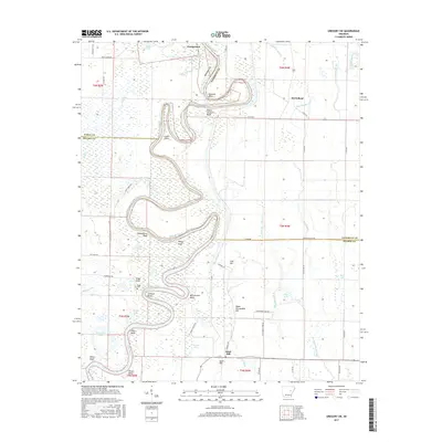
2017 Map of Gregory SW
USGS Topo · Published 2017About this map
Georgetown and McClelland anchor this landscape where the White River winds through the wetlands of White, Woodruff, and Prairie counties. The river's serpentine course is defined by numerous named bends and bluffs, including Orlando Bend, Peach Orchard Bluff, and Smokehouse Bluff. These geographic markers, alongside Canal Point and McCrutchen Bend, suggest a history of river navigation and early landmarking in this flood-prone region.
Find a feature on this map
69 named features on this map. Tap any name to fly to it.
Don’t see what you’re looking for? This feature index may not catch every label — zoom into the map to look around manually.
Map Details
Editions of this 2017 Gregory SW Map
This is the sole edition of this map. No revisions or reprints were ever made.
Other maps of this area
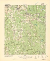
1932 · Kensett
USGS Topo · 1:62,500
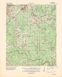
1935 · Kensett
USGS Topo · 1:62,500
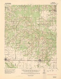
1935 · Hazen
USGS Topo · 1:62,500
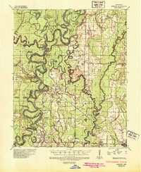
1935 · Gregory
USGS Topo · 1:62,500
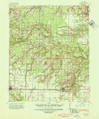
1941 · Hazen
USGS Topo · 1:62,500
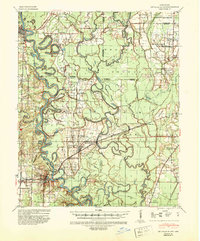
1941 · De Valls Bluff
USGS Topo · 1:62,500
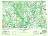
1948 · Helena
USGS Topo · 1:250,000
1950 · Helena
USGS Topo · 1:250,000

1953 · Memphis
USGS Topo · 1:250,000
1955 · Helena
USGS Topo · 1:250,000