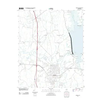
2012 Map of Grenada
USGS Topo · Published 2012About this map
The Yalobusha River winds through this landscape, defining the character of Grenada and its surrounding communities. By the early 21st century, the area shows a distinct transition from the concentrated street grid of the city to the recreational and agricultural lands near Grenada Lake. To the east, the shoreline is punctuated by Grenada Landing and Kirkman Landing, reflecting the area's significance for water-based access and commerce. Several family and memorial sites, such as the Confederate Cem and Barksdale Cem, are preserved across the quadrangle, offering tangible links to the region's 19th-century history. Smaller settlements like Riverdale and Futheyville are situated along the transit corridors, while the presence of the Grenada Municipal Airport and Spencer Field Airport indicates the importance of aviation infrastructure for the county. The map also records numerous local roads like Salem Church Rd and Old Hardy Rd that connect rural homesteads to the central township.
Find a feature on this map
149 named features on this map. Tap any name to fly to it.
Don’t see what you’re looking for? This feature index may not catch every label — zoom into the map to look around manually.
Map Details
Editions of this 2012 Grenada Map
This is the sole edition of this map. No revisions or reprints were ever made.
Other maps of this area

1953 · West Point
USGS Topo · 1:250,000

1954 · Grenada
USGS Topo · 1:62,500

1954 · Duck Hill
USGS Topo · 1:62,500

1954 · McCarley
USGS Topo · 1:62,500

1955 · Coffeeville
USGS Topo · 1:62,500

1958 · West Point
USGS Topo · 1:250,000

1963 · West Point
USGS Topo · 1:250,000
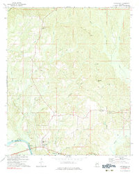
1971 · Coffeeville
USGS Topo · 1:24,000
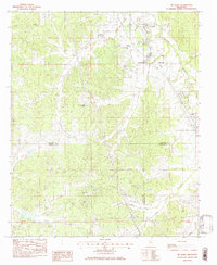
1983 · Tie Plant
USGS Topo · 1:24,000
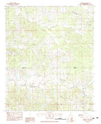
1983 · Jefferson
USGS Topo · 1:24,000