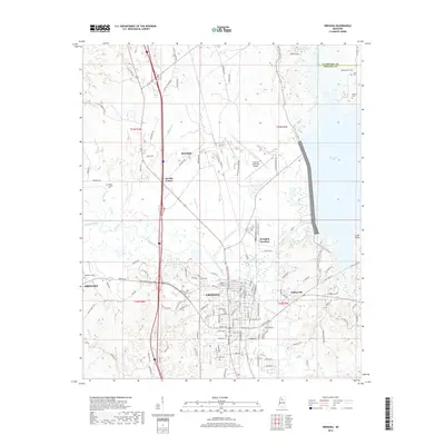
2018 Map of Grenada
USGS Topo · Published 2018About this map
Grenada centers this northern Mississippi landscape where the Yalobusha River flows toward the extensive waters of Grenada Lake. The area's complex hydrological and cultural history is evident in the numerous family and memorial grounds scattered across the terrain, including the Confederate Cem and the Jones Chapel Cem near the western hills. The settlement pattern follows a network of local roads and rail-related points like Memphis Junction, connecting the city to outlying communities such as Futheyville and Geeslin Corner. To the north, the terrain transitions into Yalobusha County, marked by the winding courses of Purdie Cr and Martin Cr. The presence of the Grenada Municipal Airport and the expansive reservoir shoreline highlights the 21st-century balance between regional infrastructure and the natural river basin topography.
Find a feature on this map
134 named features on this map. Tap any name to fly to it.
Don’t see what you’re looking for? This feature index may not catch every label — zoom into the map to look around manually.
Map Details
Editions of this 2018 Grenada Map
This is the sole edition of this map. No revisions or reprints were ever made.
Other maps of this area
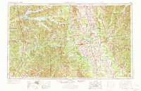
1953 · West Point
USGS Topo · 1:250,000
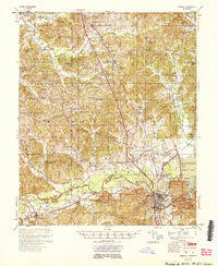
1954 · Grenada
USGS Topo · 1:62,500
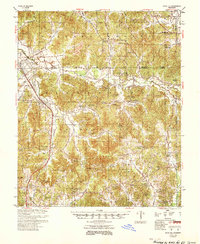
1954 · Duck Hill
USGS Topo · 1:62,500
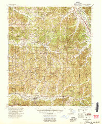
1954 · McCarley
USGS Topo · 1:62,500
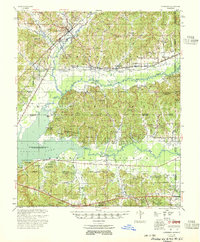
1955 · Coffeeville
USGS Topo · 1:62,500
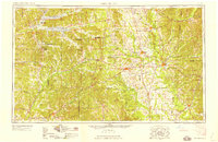
1958 · West Point
USGS Topo · 1:250,000
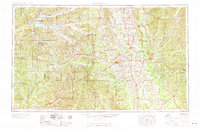
1963 · West Point
USGS Topo · 1:250,000
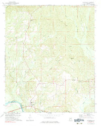
1971 · Coffeeville
USGS Topo · 1:24,000
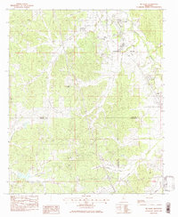
1983 · Tie Plant
USGS Topo · 1:24,000
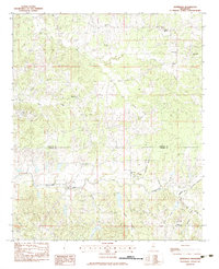
1983 · Jefferson
USGS Topo · 1:24,000