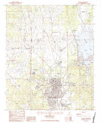
1983 Map of Grenada
USGS Topo · Published 1984About this map
The Yalobusha River winds through the heart of this landscape, just downstream from the massive Grenada Dam that regulates its flow and forms Grenada Lake. The city of Grenada serves as the regional anchor, situated at the confluence of several vital transit corridors including the Illinois Central Gulf railroad and the Municipal Airport. This geography reflects a post-war era of significant infrastructure development, where flood control and recreation transformed the river valley.
Find a feature on this map
39 named features on this map. Tap any name to fly to it.
Don’t see what you’re looking for? This feature index may not catch every label — zoom into the map to look around manually.
Map Details
Editions of this 1983 Grenada Map
This is the sole edition of this map. No revisions or reprints were ever made.
Other maps of this area

1953 · West Point
USGS Topo · 1:250,000

1954 · Grenada
USGS Topo · 1:62,500

1954 · Duck Hill
USGS Topo · 1:62,500

1954 · McCarley
USGS Topo · 1:62,500

1955 · Coffeeville
USGS Topo · 1:62,500

1958 · West Point
USGS Topo · 1:250,000

1963 · West Point
USGS Topo · 1:250,000
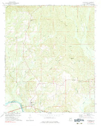
1971 · Coffeeville
USGS Topo · 1:24,000
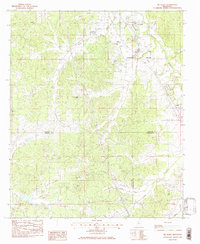
1983 · Tie Plant
USGS Topo · 1:24,000
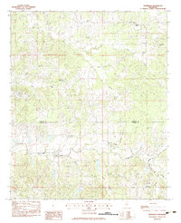
1983 · Jefferson
USGS Topo · 1:24,000