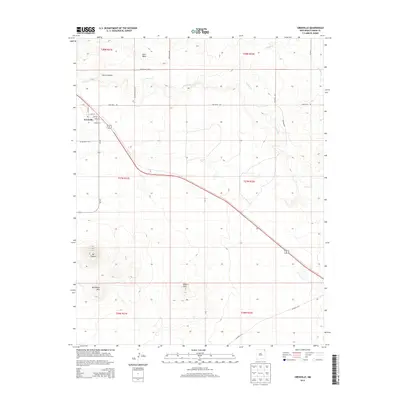
2013 Map of Grenville
USGS Topo · Published 2013About this map
The high plains of Union County are centered on Grenville, a small settlement defined by its grid of Main St, College St, and Light St. This 2013 survey reveals a landscape where road networks like Sand Mesa Rd and Blind Gap Rd connect isolated outposts and topographical landmarks. To the southwest, the terrain rises toward the distinct heights of Mt Clayton and Horseshoe Mtn, while the Kilburn Hills provide a broken skyline across the southern reaches. This area is etched by seasonal watercourses, including the winding Seneca Cr and Alamos Cr, which cut through the mesa country. The map traces the historical footprint of the region, including the small locality of Marquez and the natural corridor of Cherry Canyon, illustrating the relationship between early ranching-era infrastructure and the volcanic geology of the northeastern New Mexico plateau.
Find a feature on this map
31 named features on this map. Tap any name to fly to it.
Don’t see what you’re looking for? This feature index may not catch every label — zoom into the map to look around manually.
Map Details
Editions of this 2013 Grenville Map
This is the sole edition of this map. No revisions or reprints were ever made.
Other maps of this area
1954 · Dalhart
USGS Topo · 1:250,000
1958 · Dalhart
USGS Topo · 1:250,000
1962 · Dalhart
USGS Topo · 1:250,000
1966 · Black Canyon
USGS Topo · 1:24,000
1972 · Mount Dora
USGS Topo · 1:24,000
1972 · Boiler Gap
USGS Topo · 1:24,000
1973 · Wetherly Lake
USGS Topo · 1:24,000
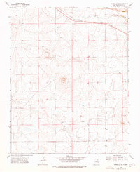
1973 · Grenville SW
USGS Topo · 1:24,000
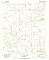
1973 · Snyder Lake
USGS Topo · 1:24,000
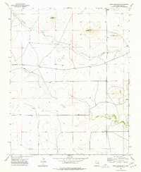
1973 · Tripod Mountain
USGS Topo · 1:24,000