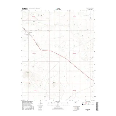
2017 Map of Grenville
USGS Topo · Published 2017About this map
The town of Grenville stands as a focal point for this high-plains landscape, where the local street grid—including 1st St, 5th St, and Burlington St—meets the diagonal path of the Burlington Northern Santa Fe railroad. This modern survey reflects the enduring cattle-country infrastructure of Union County, defined by a network of ranch roads like Sand Mesa Rd and Blind Gap Rd that cross open rangeland.
Find a feature on this map
27 named features on this map. Tap any name to fly to it.
Don’t see what you’re looking for? This feature index may not catch every label — zoom into the map to look around manually.
Map Details
Editions of this 2017 Grenville Map
This is the sole edition of this map. No revisions or reprints were ever made.
Other maps of this area
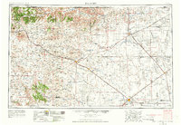
1954 · Dalhart
USGS Topo · 1:250,000
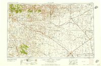
1958 · Dalhart
USGS Topo · 1:250,000
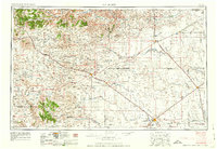
1962 · Dalhart
USGS Topo · 1:250,000
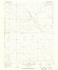
1966 · Black Canyon
USGS Topo · 1:24,000
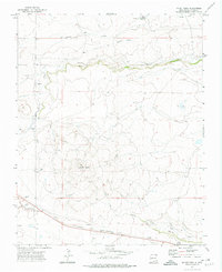
1972 · Mount Dora
USGS Topo · 1:24,000
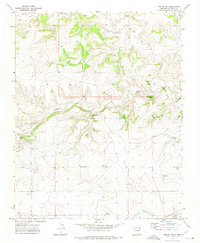
1972 · Boiler Gap
USGS Topo · 1:24,000
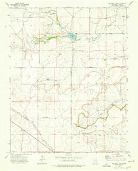
1973 · Wetherly Lake
USGS Topo · 1:24,000
1973 · Grenville SW
USGS Topo · 1:24,000
1973 · Snyder Lake
USGS Topo · 1:24,000
1973 · Tripod Mountain
USGS Topo · 1:24,000