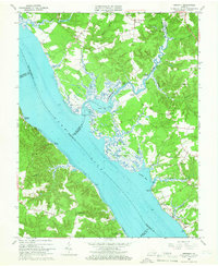
1965 Map of Gressitt
USGS Topo · Published 1966About this map
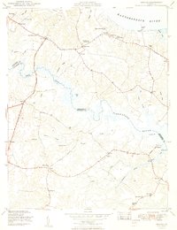
The York River dominates this mid-1960s landscape, serving as a maritime boundary where the borders of King and Queen, Gloucester, James City, and York counties converge. The intricate tidal geography is defined by the Poropotank River and its numerous landings, including Red Bank Landing and Tanyard Landing, which speak to the area's long history of river-based commerce and transport. The marshy estuary environment is punctuated by Tidal Flats and features like Purtan Island, while the interior shows a network of small agricultural settlements and crossroads.
Find a feature on this map
54 named features on this map. Tap any name to fly to it.
Don’t see what you’re looking for? This feature index may not catch every label — zoom into the map to look around manually.
Map Details
Editions of this 1965 Gressitt Map
4 editions found
Other maps of this area

1906 · Williamsburg
USGS Topo · 1:62,500

1917 · Urbanna
USGS Topo · 1:62,500

1917 · Toano
USGS Topo · 1:62,500

1918 · Toano
USGS Topo · 1:62,500

1919 · New Kent
USGS Topo · 1:62,500

1943 · Richmond
USGS Topo · 1:250,000
1949 · Saluda
USGS Topo · 1:24,000

1949 · Shacklefords
USGS Topo · 1:24,000

1949 · Richmond
USGS Topo · 1:250,000

1950 · West Point
USGS Topo · 1:24,000