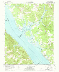
1965 Map of Gressitt
USGS Topo · Published 1974About this map
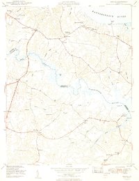
The York River dominates this mid-1960s coastal survey, serving as the geographic divide for several Virginia counties including Gloucester, James City, and King and Queen. The landscape is defined by its extensive tidal network, where the Poropotank River feeds into Poropotank Bay and Morris Bay. Numerous small landings such as Haywood Landing, Miller Landing, and Sycamore Landing underscore the historical reliance on water-based transport and fishing along these shores.
Find a feature on this map
56 named features on this map. Tap any name to fly to it.
Don’t see what you’re looking for? This feature index may not catch every label — zoom into the map to look around manually.
Map Details
Editions of this 1965 Gressitt Map
4 editions found
Other maps of this area

1906 · Williamsburg
USGS Topo · 1:62,500

1917 · Urbanna
USGS Topo · 1:62,500

1917 · Toano
USGS Topo · 1:62,500

1918 · Toano
USGS Topo · 1:62,500

1919 · New Kent
USGS Topo · 1:62,500

1943 · Richmond
USGS Topo · 1:250,000
1949 · Saluda
USGS Topo · 1:24,000

1949 · Shacklefords
USGS Topo · 1:24,000

1949 · Richmond
USGS Topo · 1:250,000

1950 · West Point
USGS Topo · 1:24,000