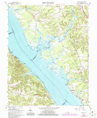
1965 Map of Gressitt
USGS Topo · Published 1986About this map
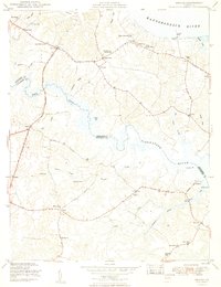
The York River and its major tributary, the Poropotank River, define the landscape of this Tidewater Virginia survey. The network of historical river access points is prominent, with named sites such as Sycamore Landing, Croaker Landing, and Partridge Landing lining the banks. These landings reflect a centuries-old reliance on the waterways for transportation and commerce between Gloucester, King and Queen, and James City Counties. The transition from navigable channels to expansive tidal flats and marshes is captured in detail, particularly around Purtan Island and Morris Bay.
Find a feature on this map
49 named features on this map. Tap any name to fly to it.
Don’t see what you’re looking for? This feature index may not catch every label — zoom into the map to look around manually.
Map Details
Editions of this 1965 Gressitt Map
4 editions found
Other maps of this area

1906 · Williamsburg
USGS Topo · 1:62,500

1917 · Urbanna
USGS Topo · 1:62,500

1917 · Toano
USGS Topo · 1:62,500

1918 · Toano
USGS Topo · 1:62,500

1919 · New Kent
USGS Topo · 1:62,500

1943 · Richmond
USGS Topo · 1:250,000
1949 · Saluda
USGS Topo · 1:24,000

1949 · Shacklefords
USGS Topo · 1:24,000

1949 · Richmond
USGS Topo · 1:250,000

1950 · West Point
USGS Topo · 1:24,000