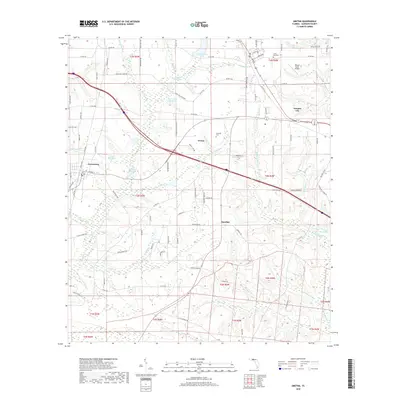
2018 Map of Gretna
USGS Topo · Published 2018About this map
Gretna and Greensboro serve as the primary hubs in this part of Gadsden County, where the landscape is defined by an intricate network of waterways and mill ponds. The distribution of Hannas Millpond, Byron Sube Mill Pond, and Hanno Mill Pond suggests a legacy of local water-driven industry or agricultural management that persists in the modern topography. While the interstate corridor cuts through the center, the surrounding rural character remains intact, marked by local landmarks like Union Chapel and family-named features such as C W Thomas Lake. Genealogists may find value in the specific locations of Sunny Dell Cem and Edwards Cem, which anchor the small communities of Sawdust and Douglas City. The drainages of Telogia Cr and Rocky Comfort Cr dictate the layout of the county roads and timber tracks that crisscross the terrain.
Find a feature on this map
98 named features on this map. Tap any name to fly to it.
Don’t see what you’re looking for? This feature index may not catch every label — zoom into the map to look around manually.
Map Details
Editions of this 2018 Gretna Map
This is the sole edition of this map. No revisions or reprints were ever made.
Other maps of this area

1943 · Lake Talquin
USGS Topo · 1:62,500

1945 · Hosford
USGS Topo · 1:31,680

1954 · Tallahassee
USGS Topo · 1:250,000

1955 · Sycamore
USGS Topo · 1:24,000

1955 · Chattahoochee
USGS Topo · 1:24,000

1955 · Mt Pleasant
USGS Topo · 1:24,000

1956 · Dogtown
USGS Topo · 1:24,000

1959 · Tallahassee
USGS Topo · 1:250,000

1959 · Gretna
USGS Topo · 1:24,000

1959 · Quincy
USGS Topo · 1:24,000