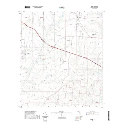
2021 Map of Gretna
USGS Topo · Published 2021About this map
Gretna and Greensboro anchor this Gadsden County landscape, where a legacy of water-powered industry is visible through numerous impoundments. The topography is defined by the headwaters and branches of Telogia Cr, which feed several named basins such as Hanna Millpond, Byron Sube Mill Pond, and Shepards Millpond. These sites suggest a history of local milling along the creek's tributaries, while the smaller community of Sawdust further hints at the area's timber and wood-processing roots.
Find a feature on this map
102 named features on this map. Tap any name to fly to it.
Don’t see what you’re looking for? This feature index may not catch every label — zoom into the map to look around manually.
Map Details
Editions of this 2021 Gretna Map
This is the sole edition of this map. No revisions or reprints were ever made.
Other maps of this area

1943 · Lake Talquin
USGS Topo · 1:62,500

1945 · Hosford
USGS Topo · 1:31,680

1954 · Tallahassee
USGS Topo · 1:250,000

1955 · Sycamore
USGS Topo · 1:24,000

1955 · Chattahoochee
USGS Topo · 1:24,000

1955 · Mt Pleasant
USGS Topo · 1:24,000

1956 · Dogtown
USGS Topo · 1:24,000

1959 · Tallahassee
USGS Topo · 1:250,000

1959 · Gretna
USGS Topo · 1:24,000

1959 · Quincy
USGS Topo · 1:24,000