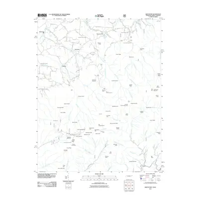
2011 Map of Greystone
USGS Topo · Published 2011About this map
Andrew Johnson Mountain stands as a prominent topographical fixture in this section of the Appalachian foothills, where high-elevation landmarks like Big Knob and Greystone Mountain overlook a network of deep hollows and gaps. The landscape is defined by its water sources and historical milling sites, including Water Fork Mill and Hampton Mill, suggesting an early economy tied to the numerous springs and creeks such as Waddell Spring and Hampton Spring.
Find a feature on this map
134 named features on this map. Tap any name to fly to it.
Don’t see what you’re looking for? This feature index may not catch every label — zoom into the map to look around manually.
Map Details
Editions of this 2011 Greystone Map
This is the sole edition of this map. No revisions or reprints were ever made.
Other maps of this area

1892 · Greeneville
USGS Topo · 1:125,000

1894 · Asheville
USGS Topo · 1:125,000

1896 · Greeneville
USGS Topo · 1:125,000

1901 · Asheville
USGS Topo · 1:125,000

1904 · Greeneville
USGS Topo · 1:125,000

1935 · Hot Springs
USGS Topo · 1:24,000

1936 · Greystone
USGS Topo · 1:24,000

1936 · Sams Gap
USGS Topo · 1:24,000
1936 · Lake Davy Crockett
USGS Topo · 1:24,000
1936 · Chuckey
USGS Topo · 1:24,000