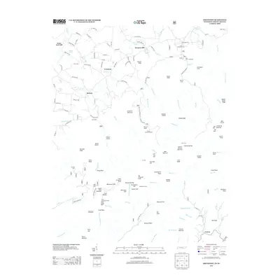
2013 Map of Greystone
USGS Topo · Published 2013About this map
Bethany and Greystone anchor a landscape defined by the drainage of Camp Cr and Horse Cr in this portion of Greene County. The area’s economic and social geography is marked by historic sites such as Water Fork Mill and Hampton Mill, suggesting a legacy of local industry along the mountain watercourses. Higher elevations are punctuated by notable landmarks including Andrew Johnson Mountain and the prominent Blackstack Cliffs, while the Camp Creek Bald Lookout provides a high-altitude vantage point over the Unaka range.
Find a feature on this map
156 named features on this map. Tap any name to fly to it.
Don’t see what you’re looking for? This feature index may not catch every label — zoom into the map to look around manually.
Map Details
Editions of this 2013 Greystone Map
This is the sole edition of this map. No revisions or reprints were ever made.
Other maps of this area

1892 · Greeneville
USGS Topo · 1:125,000

1894 · Asheville
USGS Topo · 1:125,000

1896 · Greeneville
USGS Topo · 1:125,000

1901 · Asheville
USGS Topo · 1:125,000

1904 · Greeneville
USGS Topo · 1:125,000

1935 · Hot Springs
USGS Topo · 1:24,000

1936 · Greystone
USGS Topo · 1:24,000

1936 · Sams Gap
USGS Topo · 1:24,000
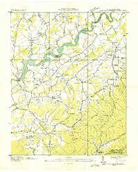
1936 · Lake Davy Crockett
USGS Topo · 1:24,000
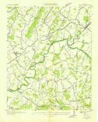
1936 · Chuckey
USGS Topo · 1:24,000