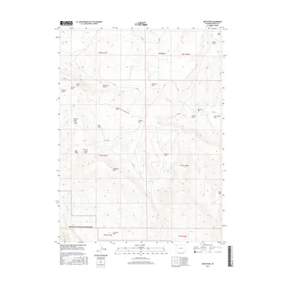
2016 Map of Greystone
USGS Topo · Published 2016About this map
Greystone sits at a geographic crossroads in northwest Colorado, marking a high-plateau landscape defined by a network of named draws and ridges. The southern portion of this 2016 survey includes the northern boundary of Dinosaur National Monument, specifically the area around Iron Mine Basin and Limestone Ridge. This territory is characterized by deep drainage systems like Dutch Oven Canyon and Rye Grass Draw, which cut through the high elevations of Douglas Mtn.
Find a feature on this map
40 named features on this map. Tap any name to fly to it.
Don’t see what you’re looking for? This feature index may not catch every label — zoom into the map to look around manually.
Map Details
Editions of this 2016 Greystone Map
This is the sole edition of this map. No revisions or reprints were ever made.
Other maps of this area
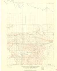
1907 · Rangely
USGS Topo · 1:125,000
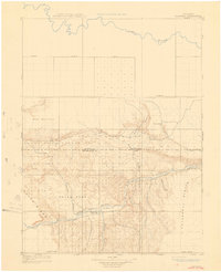
1910 · Rangely
USGS Topo · 1:125,000
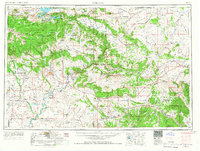
1954 · Vernal
USGS Topo · 1:250,000
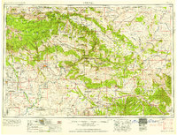
1958 · Vernal
USGS Topo · 1:250,000
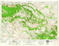
1960 · Vernal
USGS Topo · 1:250,000
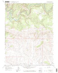
1962 · Tanks Peak
USGS Topo · 1:24,000
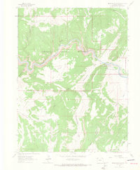
1962 · Indian Water Canyon
USGS Topo · 1:24,000
1962 · Haystack Rock
USGS Topo · 1:24,000
1966 · Limestone Hill
USGS Topo · 1:24,000
1966 · Sheephead Basin
USGS Topo · 1:24,000