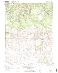
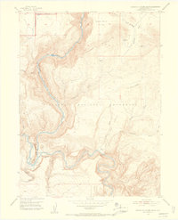
1962 Map of Tanks Peak
USGS Topo · Published 1965About this map
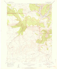
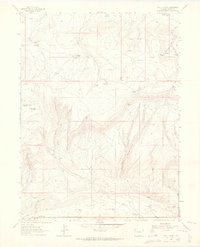
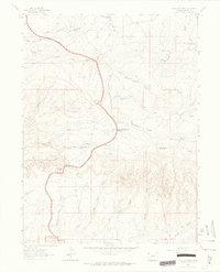
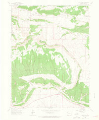
The Yampa River carves a deep, winding path through the northern reaches of Dinosaur National Monument, defining a landscape where high plateaus drop into narrow canyons. This 1962 survey documents the isolation of northwestern Colorado, centered on the dramatic elevation of Tanks Peak. Evidence of early 20th-century habitation and resource extraction is scattered across the terrain, notably at Mantle Mine and Shephard Mine. Family names and early homesteading efforts are preserved through labels for the Baker, Hamlin, and Shephard cabins, while rugged access is provided by the Mantle Ranch Road. The intricate drainage system, including Bull Draw and Johnson Canyon, highlights the importance of water sources like Serviceberry Spring and Marthas Spring in this high-desert environment. Geologic features such as Cleopatras Couch and Schoonover Buttes emphasize the verticality of the canyon country.
Find a feature on this map
38 named features on this map. Tap any name to fly to it.
Don’t see what you’re looking for? This feature index may not catch every label — zoom into the map to look around manually.
Map Details
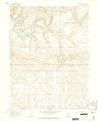
Editions of this 1962 Tanks Peak Map
2 editions found
Other maps of this area

1907 · Rangely
USGS Topo · 1:125,000
1910 · Rangely
USGS Topo · 1:125,000
1954 · Hells Canyon
USGS Topo · 1:24,000
1954 · Canyon of Lodore South
USGS Topo · 1:24,000

1954 · Vernal
USGS Topo · 1:250,000

1958 · Vernal
USGS Topo · 1:250,000

1960 · Vernal
USGS Topo · 1:250,000
1962 · Lazy Y Point
USGS Topo · 1:24,000
1962 · Plug Hat Rock
USGS Topo · 1:24,000
1962 · Skull Creek
USGS Topo · 1:24,000