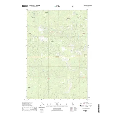
2020 Map of Grice Ridge
USGS Topo · Published 2020About this map
St. Joe National Forest encompasses this high-elevation Idaho landscape, where the border between Shoshone Co and Clearwater Co follows the natural drainage divides. The terrain is defined by a series of prominent summits including Windy Peak, Castle Rock, and Stony Butte, connected by a network of specialized routes such as the Round Top-Freezeout Rd and various OHV tracks. These paths provide access to remote water sources like White Rock Springs and Freezeout Spring. In the southern portion of the quadrangle, the land opens into Stony Creek Meadows and the Upper Basin, where the headwaters of Stony Cr and Isabella Cr begin their descent. The map illustrates a contemporary wilderness managed for recreation and watershed protection, dominated by the namesake Grice Ridge and its surrounding creek systems.
Find a feature on this map
38 named features on this map. Tap any name to fly to it.
Don’t see what you’re looking for? This feature index may not catch every label — zoom into the map to look around manually.
Map Details
Editions of this 2020 Grice Ridge Map
This is the sole edition of this map. No revisions or reprints were ever made.
Other maps of this area

1914 · Avery
USGS Topo · 1:125,000

1917 · Avery
USGS Topo · 1:125,000

1923 · Washington Creek
USGS Topo · 1:125,000

1936 · Boehls Butte
USGS Topo · 1:48,000

1943 · Boehls Butte
USGS Topo · 1:62,500

1955 · Pullman
USGS Topo · 1:250,000

1955 · Spokane
USGS Topo · 1:250,000

1956 · Wallace
USGS Topo · 1:250,000

1956 · Hamilton
USGS Topo · 1:250,000

1958 · Spokane
USGS Topo · 1:250,000