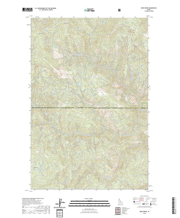
2024 Map of Grice Ridge
USGS Topo · Published 2024About this map
St Joe National Forest dominates this landscape in Northern Idaho, where high ridges and deep drainage basins define the border between Shoshone Co and Clearwater Co. The terrain is marked by prominent high points such as Windy Peak, White Rock, and Stony Butte, while the eponymous Grice Ridge serves as a central spine. Water sources are abundant, with the North Fork Glover Creek and Hemlock Creek cutting through the steep slopes. The presence of specialized infrastructure like the Mariah Ohv Trl and Stony Butte Ohv Trl indicates the area's modern role as a hub for off-highway vehicle recreation. Lower elevations reveal broader natural clearings like Stony Creek Meadows and the Upper Basin near Elk Creek, offering a glimpse into the forest's complex interior hydrology and seasonal grazing or habitat areas.
Find a feature on this map
35 named features on this map. Tap any name to fly to it.
Don’t see what you’re looking for? This feature index may not catch every label — zoom into the map to look around manually.
Map Details
Editions of this 2024 Grice Ridge Map
This is the sole edition of this map. No revisions or reprints were ever made.
Other maps of this area

1914 · Avery
USGS Topo · 1:125,000

1917 · Avery
USGS Topo · 1:125,000

1923 · Washington Creek
USGS Topo · 1:125,000

1936 · Boehls Butte
USGS Topo · 1:48,000

1943 · Boehls Butte
USGS Topo · 1:62,500

1955 · Pullman
USGS Topo · 1:250,000

1955 · Spokane
USGS Topo · 1:250,000

1956 · Wallace
USGS Topo · 1:250,000

1956 · Hamilton
USGS Topo · 1:250,000

1958 · Spokane
USGS Topo · 1:250,000