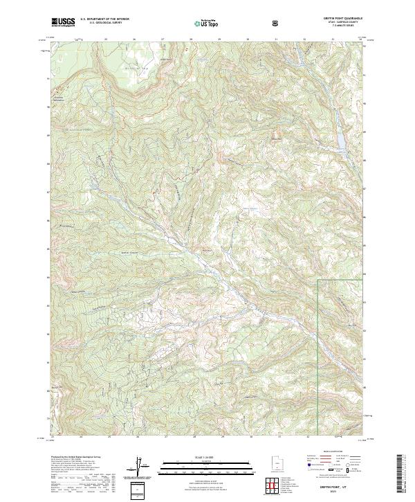
2023 Map of Griffin Point
USGS Topo · Published 2023About this map
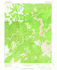
Dixie National Forest defines the high-altitude geography of this region, dominated by the massive plateau features of Griffin Top and Barney Top. This landscape is marked by a network of seasonal water sources and named canyons, including Birch Canyon and Spencer Canyon, which descend from the Escalante Mountains. The map documents a complex system of historical and modern transport, where the Old Escalante Rd and Corn Creek Rd follow natural drainage contours through Main Canyon. Water management is central to the area's utility, anchored by the North Creek Reservoir and numerous natural outlets like Boiling Spring and Birch Spring. For the researcher, these labels reveal how topography dictated the routes of travel and resource extraction, with features like Marts Pasture and Barker Hollow indicating specific points of local activity within the wilderness.
Find a feature on this map
42 named features on this map. Tap any name to fly to it.
Don’t see what you’re looking for? This feature index may not catch every label — zoom into the map to look around manually.
Map Details
Editions of this 2023 Griffin Point Map
This is the sole edition of this map. No revisions or reprints were ever made.
Other maps of this area

1886 · Escalante
USGS Topo · 1:250,000

1956 · Escalante
USGS Topo · 1:250,000

1960 · Escalante
USGS Topo · 1:250,000

1964 · Griffin Point
USGS Topo · 1:24,000

1964 · Barker Reservoir
USGS Topo · 1:24,000
1964 · Grass Lakes
USGS Topo · 1:24,000

1964 · Canaan Creek
USGS Topo · 1:24,000
1964 · Sweetwater Creek
USGS Topo · 1:24,000
1964 · Wide Hollow Reservoir
USGS Topo · 1:24,000
1964 · Pine Lake
USGS Topo · 1:24,000