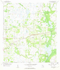
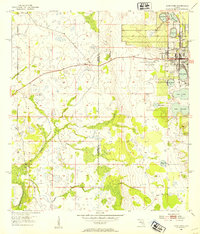
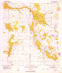
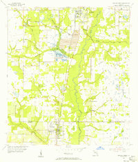
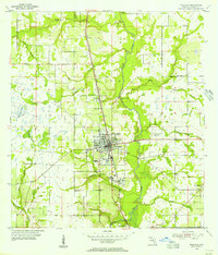
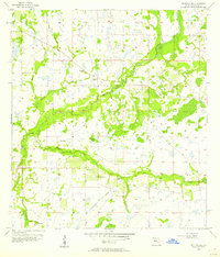
1956 Map of Griffins Corner
USGS Topo · Published 1957About this map
Griffins Corner and Lemon Grove anchor this mid-century survey of the Hardee County interior, where the landscape is defined by a dense network of wetlands and meandering waterways. The drainage pattern is intricate, dominated by Charlie Creek and its many tributaries, including Old Town Creek and Buckhorn Creek. This era of the landscape shows a rural economy transitioning through improved roads while maintaining local social centers like the Rest Haven County Home and Hart Cem. The mapping, based on 1952 aerial photography and later planetable surveys, captures the precise extent of seasonal wetlands and wooded branches such as Lake Dale Branch and Bee Branch, which dictate the placement of local homesteads and small-scale agriculture across the flat Florida terrain.
Find a feature on this map
11 named features on this map. Tap any name to fly to it.
Don’t see what you’re looking for? This feature index may not catch every label — zoom into the map to look around manually.
Map Details
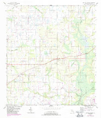
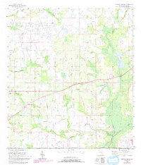
Editions of this 1956 Griffins Corner Map
4 editions found
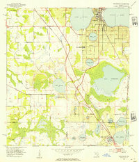
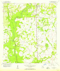
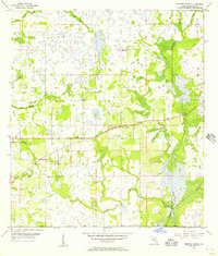
Other maps of this area
1953 · Frostproof
USGS Topo · 1:24,000
1953 · Avon Park
USGS Topo · 1:24,000
1953 · Crewsville
USGS Topo · 1:24,000
1955 · Bowling Green
USGS Topo · 1:24,000
1955 · Wauchula
USGS Topo · 1:24,000

1956 · Bereah
USGS Topo · 1:24,000
1956 · Sweetwater
USGS Topo · 1:24,000
1956 · Zolfo Springs
USGS Topo · 1:24,000
1956 · Griffins Corner
USGS Topo · 1:24,000

1956 · Fort Pierce
USGS Topo · 1:250,000