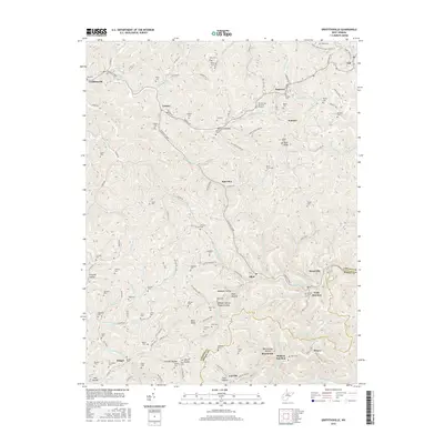
2016 Map of Griffithsville
USGS Topo · Published 2016About this map
Griffithsville and Yawkey anchor this survey of the northern Lincoln County landscape, where the terrain is defined by a dense network of hollows and ridges. The map meticulously documents dozens of family-named burial sites, including Brumfield Cem, Stowers Cem, and the Beech Grove Cem, which serve as vital markers for local genealogical research. This region, characterized by its steep-sided drainage basins, is threaded by names that reflect early homesteading and industry, such as Saw Pit Hollow, Wolfden Hollow, and Rattlesnake Hollow.
Find a feature on this map
126 named features on this map. Tap any name to fly to it.
Don’t see what you’re looking for? This feature index may not catch every label — zoom into the map to look around manually.
Map Details
Editions of this 2016 Griffithsville Map
This is the sole edition of this map. No revisions or reprints were ever made.
Other maps of this area

1892 · Huntington
USGS Topo · 1:125,000

1898 · Huntington
USGS Topo · 1:125,000

1899 · Charleston
USGS Topo · 1:125,000

1902 · Milton
USGS Topo · 1:62,500

1902 · Midkiff
USGS Topo · 1:62,500

1907 · Midkiff
USGS Topo · 1:62,500

1909 · Midkiff
USGS Topo · 1:62,500

1909 · Saint Albans
USGS Topo · 1:62,500

1911 · Madison
USGS Topo · 1:62,500

1929 · Madison
USGS Topo · 1:62,500