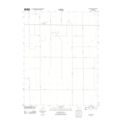
2012 Map of Grigston
USGS Topo · Published 2012About this map
Grigston anchors this western Kansas landscape, a small community defined by the rigid geometry of the High Plains survey system. The area is characterized by an extensive network of section-line roads, such as N Wichita Scott Rd and Bison Rd, which carve the prairie into precise agricultural blocks. This 2012 survey illustrates the enduring nature of rural settlement in Scott County, where the infrastructure is built almost entirely around the needs of the farming economy. Major arteries like E Road 160 and E Road 90 facilitate movement across the flat terrain, connecting isolated farmsteads. The lack of significant water features or diverse terrain emphasizes the human-engineered nature of this landscape, where even the drainage patterns are subtly integrated into the field boundaries and road margins.
Find a feature on this map
21 named features on this map. Tap any name to fly to it.
Don’t see what you’re looking for? This feature index may not catch every label — zoom into the map to look around manually.
Map Details
Editions of this 2012 Grigston Map
This is the sole edition of this map. No revisions or reprints were ever made.
Other maps of this area

1939 · Sandon
USGS Topo · 1:62,500

1940 · Scott City
USGS Topo · 1:62,500

1942 · Sandon
USGS Topo · 1:62,500

1951 · Scott City
USGS Topo · 1:62,500

1955 · Scott City
USGS Topo · 1:250,000

1958 · Scott City
USGS Topo · 1:250,000

1974 · Amy SE
USGS Topo · 1:24,000

1974 · Amy SW
USGS Topo · 1:24,000

1974 · Grigston
USGS Topo · 1:24,000

1974 · Amy
USGS Topo · 1:24,000