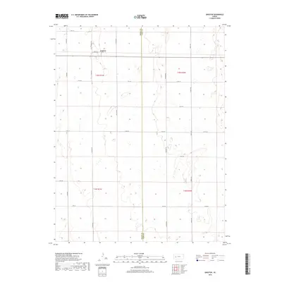
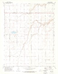
2018 Map of Grigston
USGS Topo · Published 2018About this map
Grigston anchors the northern portion of this High Plains landscape, situated at the intersection of N Venison Rd and E Rd 152. The geography is defined by a rigorous grid of section lines and county roads, reflecting the systematic land division of the American West. The north-south boundary of Scott Co Lane Co bisects the terrain, illustrating the political division between Scott and Lane counties. Numerous intermittent depressions and wetlands are scattered throughout the quadrangle, particularly along Arapahoe Rd and Bison II Rd, indicating the characteristic drainage patterns of the western Kansas plains. This survey provides a clear view of the rural transport network, from primary connectors like S Willow Rd to local routes like N Union Rd, highlighting the sparse but organized settlement pattern of the region.
Find a feature on this map
25 named features on this map. Tap any name to fly to it.
Don’t see what you’re looking for? This feature index may not catch every label — zoom into the map to look around manually.
Map Details
Editions of this 2018 Grigston Map
This is the sole edition of this map. No revisions or reprints were ever made.
Other maps of this area
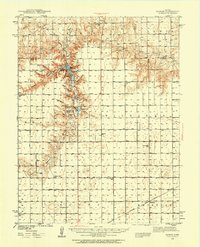
1939 · Sandon
USGS Topo · 1:62,500
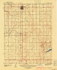
1940 · Scott City
USGS Topo · 1:62,500
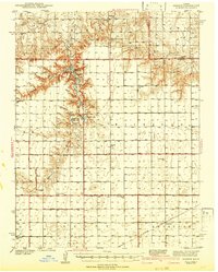
1942 · Sandon
USGS Topo · 1:62,500
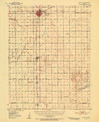
1951 · Scott City
USGS Topo · 1:62,500

1955 · Scott City
USGS Topo · 1:250,000

1958 · Scott City
USGS Topo · 1:250,000
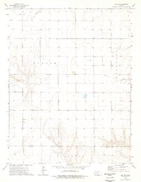
1974 · Amy SE
USGS Topo · 1:24,000
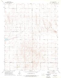
1974 · Amy SW
USGS Topo · 1:24,000
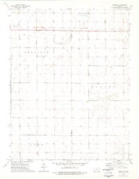
1974 · Grigston
USGS Topo · 1:24,000
1974 · Amy
USGS Topo · 1:24,000