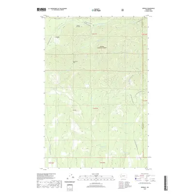
2020 Map of Grisdale
USGS Topo · Published 2020About this map
Grisdale sits at the heart of this landscape, positioned within the southeastern reaches of the Olympic National Forest. The area is defined by a dense network of mountain drainage systems, where the W Fork Satsop River and Canyon River carve through high terrain marked by Weatherwax Ridge and Reed Hill. This 2020 update illustrates the modern road network essential for forest management, including Wynoochee Valley Road FH 203 and the Upper Satsop Trailhead. The map provides a detailed look at the complex hydrography of the Olympic Mountains, showing how smaller tributaries like Spoon Cr and Musgrove Cr feed into the larger river basins. It documents the transition between Grays Harbor and Mason counties in a region dedicated to timber and conservation, far from the urban centers of the Olympic Peninsula.
Find a feature on this map
34 named features on this map. Tap any name to fly to it.
Don’t see what you’re looking for? This feature index may not catch every label — zoom into the map to look around manually.
Map Details
Editions of this 2020 Grisdale Map
This is the sole edition of this map. No revisions or reprints were ever made.
Other maps of this area

1921 · Satsop
USGS Topo · 1:62,500

1941 · Mobray
USGS Topo · 1:62,500

1943 · Nahwatzel Lake
USGS Topo · 1:62,500

1943 · Mobray
USGS Topo · 1:62,500

1953 · Mt Tebo
USGS Topo · 1:62,500

1953 · Elma
USGS Topo · 1:62,500

1955 · Wynoochee Valley
USGS Topo · 1:62,500

1955 · Grisdale
USGS Topo · 1:62,500

1958 · Seattle
USGS Topo · 1:250,000

1962 · Seattle
USGS Topo · 1:250,000