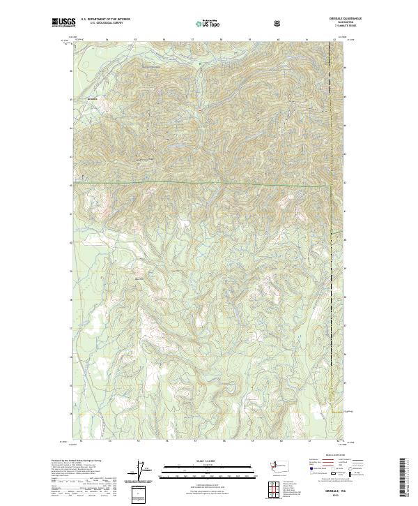
2023 Map of Grisdale
USGS Topo · Published 2023About this map
Grisdale sits at the edge of the Olympic National Forest, serving as a gateway to the high country of the Olympic Mountains. The area is defined by the complex drainage system of the West Fork Satsop River, which is joined by numerous tributaries including Spoon Creek, Robertson Creek, and Musgrove Creek. This landscape represents a modern look at the timber and recreation infrastructure of Grays Harbor County, where forest development roads like Natl Forest Develop Road 22 Rd and Wynoochee Valley Road FH 203 provide access to higher elevations. High points such as Weatherwax Ridge and Reed Hill overlook the river valleys, while the Upper Satsop Trailhead marks a transition from vehicle access to the footpaths of the deep forest.
Find a feature on this map
34 named features on this map. Tap any name to fly to it.
Don’t see what you’re looking for? This feature index may not catch every label — zoom into the map to look around manually.
Map Details
Editions of this 2023 Grisdale Map
This is the sole edition of this map. No revisions or reprints were ever made.
Other maps of this area

1921 · Satsop
USGS Topo · 1:62,500

1941 · Mobray
USGS Topo · 1:62,500

1943 · Nahwatzel Lake
USGS Topo · 1:62,500

1943 · Mobray
USGS Topo · 1:62,500

1953 · Mt Tebo
USGS Topo · 1:62,500

1953 · Elma
USGS Topo · 1:62,500

1955 · Wynoochee Valley
USGS Topo · 1:62,500

1955 · Grisdale
USGS Topo · 1:62,500

1958 · Seattle
USGS Topo · 1:250,000

1962 · Seattle
USGS Topo · 1:250,000