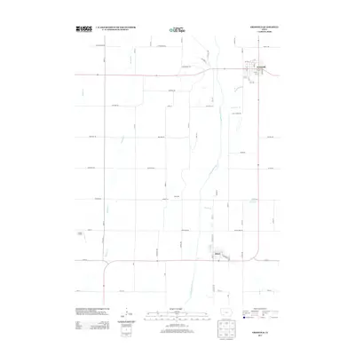
2013 Map of Griswold
USGS Topo · Published 2013About this map
Griswold and Elliott anchor this Southwestern Iowa landscape, where the agricultural grid is defined by the winding course of the E Nishnabotna River. The river corridor, joined by tributaries like Lone Tree Br and Baughmans Cr, bisects a network of rural roads such as Chestnut Rd and Pioneer Trl. The settlement of Waveland sits centrally between the two larger towns, while Shields Airport serves as a small aviation outpost on the western edge of the quadrangle. For those studying local land patterns, the map reveals a meticulously surveyed region where creek systems like Walnut Cr and Indian Cr carve soft breaks into the prairie’s rectilinear road system, illustrating the enduring relationship between Iowa's water resources and its township development.
Find a feature on this map
37 named features on this map. Tap any name to fly to it.
Don’t see what you’re looking for? This feature index may not catch every label — zoom into the map to look around manually.
Map Details
Editions of this 2013 Griswold Map
This is the sole edition of this map. No revisions or reprints were ever made.
Other maps of this area

1954 · Omaha
USGS Topo · 1:250,000

1957 · Omaha
USGS Topo · 1:250,000

1958 · Omaha
USGS Topo · 1:250,000

1963 · Avoca SE
USGS Topo · 1:24,000

1971 · Atlantic SW
USGS Topo · 1:24,000

1971 · Lewis
USGS Topo · 1:24,000

1978 · Griswold
USGS Topo · 1:24,000

1978 · Wallin
USGS Topo · 1:24,000

1978 · Wales
USGS Topo · 1:24,000

1978 · Griswold NE
USGS Topo · 1:24,000