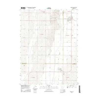
2015 Map of Griswold
USGS Topo · Published 2015About this map
The East Nishnabotna River serves as the central drainage for this western Iowa landscape, where the towns of Griswold and Elliott anchor a rural region spanning the borders of Pottawattamie, Cass, and Montgomery Counties. The settlement pattern here is deeply rooted in local history, evidenced by numerous burial grounds including Griswold Cem, Hillside Cem, and the more secluded Flint Cem and Mercer Cem. Small tributaries like Indian Cr and Walnut Cr carve through the agricultural sections, which are organized by a grid of named roads such as Pioneer Trl and Chestnut Rd. For those researching family ties, the map provides precise locations for Pleasant Township Cem and Waveland Cem. The presence of Shields Airport west of the river marks a modern utility in an area otherwise defined by its long-standing farming infrastructure and riparian corridors.
Find a feature on this map
43 named features on this map. Tap any name to fly to it.
Don’t see what you’re looking for? This feature index may not catch every label — zoom into the map to look around manually.
Map Details
Editions of this 2015 Griswold Map
This is the sole edition of this map. No revisions or reprints were ever made.
Other maps of this area

1954 · Omaha
USGS Topo · 1:250,000

1957 · Omaha
USGS Topo · 1:250,000

1958 · Omaha
USGS Topo · 1:250,000
1963 · Avoca SE
USGS Topo · 1:24,000
1971 · Atlantic SW
USGS Topo · 1:24,000
1971 · Lewis
USGS Topo · 1:24,000
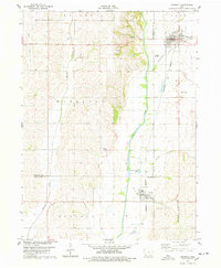
1978 · Griswold
USGS Topo · 1:24,000
1978 · Wallin
USGS Topo · 1:24,000
1978 · Wales
USGS Topo · 1:24,000
1978 · Griswold NE
USGS Topo · 1:24,000