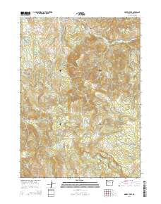
2014 Map of Grizzly Peak
USGS Topo · Published 2014About this map
Climax stands as the primary settlement within this high-elevation landscape, where the Cascades' terrain is deeply etched by a network of drainages. The topography is defined by prominent heights like Grizzly Peak and Heppsie Mtn, which overlook a complex system of creeks including South Fork Little Butte Creek and Lost Cr. Water management is a visible priority across the terrain, evidenced by features such as the Lake Creek Reservoir, the Guidottie Reservoir, and the Shale City Reservoirs.
Find a feature on this map
55 named features on this map. Tap any name to fly to it.
Don’t see what you’re looking for? This feature index may not catch every label — zoom into the map to look around manually.
Map Details
Editions of this 2014 Grizzly Peak Map
This is the sole edition of this map. No revisions or reprints were ever made.
Other maps of this area
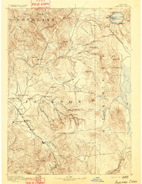
1891 · Ashland
USGS Topo · 1:250,000
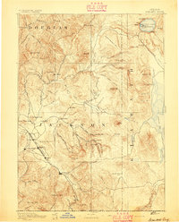
1893 · Ashland
USGS Topo · 1:250,000
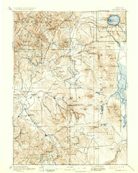
1897 · Ashland
USGS Topo · 1:250,000
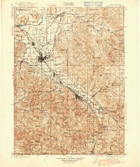
1938 · Medford
USGS Topo · 1:125,000
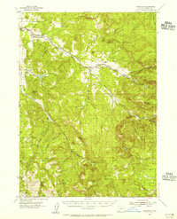
1954 · Lakecreek
USGS Topo · 1:62,500
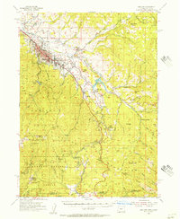
1954 · Ashland
USGS Topo · 1:62,500
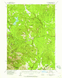
1955 · Hyatt Reservoir
USGS Topo · 1:62,500
1955 · Mt. Mc Loughlin
USGS Topo · 1:62,500

1955 · Medford
USGS Topo · 1:250,000
1957 · Medford
USGS Topo · 1:250,000