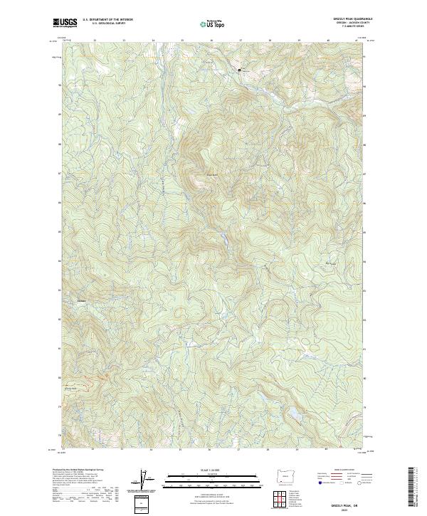
2023 Map of Grizzly Peak
USGS Topo · Published 2023About this map
Grizzly Peak and the surrounding high country of Jackson County are defined by a complex network of drainages and protected public lands in this 2023 survey. The settlement of Climax sits along Antelope Creek in the western portion of the map, while the southern reaches are dominated by the Cascade-Siskiyou National Monument. This modern record reveals how water management continues to shape the landscape through features like the Shale City Reservoirs, Guidottie Reservoir, and Big Lake.
Find a feature on this map
38 named features on this map. Tap any name to fly to it.
Don’t see what you’re looking for? This feature index may not catch every label — zoom into the map to look around manually.
Map Details
Editions of this 2023 Grizzly Peak Map
This is the sole edition of this map. No revisions or reprints were ever made.
Other maps of this area

1891 · Ashland
USGS Topo · 1:250,000

1893 · Ashland
USGS Topo · 1:250,000

1897 · Ashland
USGS Topo · 1:250,000

1938 · Medford
USGS Topo · 1:125,000

1954 · Lakecreek
USGS Topo · 1:62,500

1954 · Ashland
USGS Topo · 1:62,500

1955 · Hyatt Reservoir
USGS Topo · 1:62,500

1955 · Mt. Mc Loughlin
USGS Topo · 1:62,500

1955 · Medford
USGS Topo · 1:250,000

1957 · Medford
USGS Topo · 1:250,000