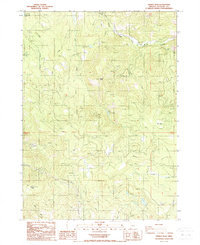
1988 Map of Grizzly Peak
USGS Topo · Published 1988About this map
Grizzly Peak dominates this Jackson County landscape, overlooking a network of drainages and remote settlements in the late 1980s. The map documents small communities and outposts such as Shale City, Climax, and Antelope, which are connected by a system of unimproved 4wd tracks and forest roads. Natural features like Lucky Canyon and the South Fork Little Butte Creek define the topography, while resource extraction is evident at the Mine near Shale City and several Gravel Pit locations.
Find a feature on this map
26 named features on this map. Tap any name to fly to it.
Don’t see what you’re looking for? This feature index may not catch every label — zoom into the map to look around manually.
Map Details
Editions of this 1988 Grizzly Peak Map
This is the sole edition of this map. No revisions or reprints were ever made.
Other maps of this area

1891 · Ashland
USGS Topo · 1:250,000

1893 · Ashland
USGS Topo · 1:250,000

1897 · Ashland
USGS Topo · 1:250,000

1938 · Medford
USGS Topo · 1:125,000

1954 · Lakecreek
USGS Topo · 1:62,500

1954 · Ashland
USGS Topo · 1:62,500

1955 · Hyatt Reservoir
USGS Topo · 1:62,500

1955 · Mt. Mc Loughlin
USGS Topo · 1:62,500

1955 · Medford
USGS Topo · 1:250,000

1957 · Medford
USGS Topo · 1:250,000