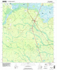
1993 Map of Gross
USGS Topo · Published 1995About this map
The St Marys River carves a winding path along the Georgia-Florida border, defining the northern edge of this landscape where the coastal plain meets complex drainage networks. This 1993 revision shows the settlement of Gross as a transport hub, centered around an interstate interchange and flanked by a Weigh Station and a Campground. The map documents a blend of rural residential life and infrastructure, with local landmarks like New Mount Carmel Ch and St James Ch serving as community anchors near Evergreen.
Find a feature on this map
28 named features on this map. Tap any name to fly to it.
Don’t see what you’re looking for? This feature index may not catch every label — zoom into the map to look around manually.
Map Details
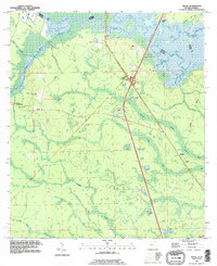
Editions of this 1993 Gross Map
2 editions found
Other maps of this area

1917 · Boulogne
USGS Topo · 1:62,500

1917 · Hilliard
USGS Topo · 1:62,500

1918 · St Marys
USGS Topo · 1:62,500

1918 · Kingsland
USGS Topo · 1:62,500

1919 · St Marys
USGS Topo · 1:62,500

1919 · Hilliard
USGS Topo · 1:62,500

1919 · Boulogne
USGS Topo · 1:62,500

1948 · Jacksonville
USGS Topo · 1:250,000

1957 · Jacksonville
USGS Topo · 1:250,000

1958 · Gross
USGS Topo · 1:24,000