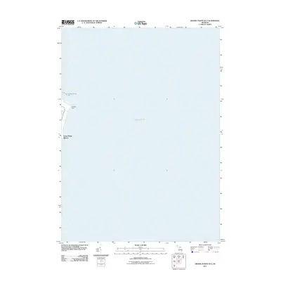
2011 Map of Grosse Pointe OE E
USGS Topo · Published 2011About this map
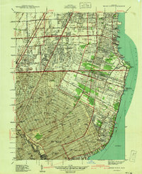
Lake St Clair dominates the vast majority of this 2011 survey, reflecting the maritime character of the coastal communities along the western shore. The residential edge of Gross Point Shores is visible along the western margin, where the transition from land to water is marked by Gaukler Point. This specific map captures the shoreline during a period of modern suburban density, providing a clear reference for property boundaries and coastal features at the beginning of the decade. Navigational markers like the W C Miller Memorial Light help orient those researching local maritime history and the development of this affluent Michigan waterfront. The limited land area emphasizes the relationship between the suburban street grid and the open water, a defining characteristic of the Grosse Pointe region.
Find a feature on this map
4 named features on this map. Tap any name to fly to it.
Don’t see what you’re looking for? This feature index may not catch every label — zoom into the map to look around manually.
Map Details
Editions of this 2011 Grosse Pointe OE E Map
This is the sole edition of this map. No revisions or reprints were ever made.
Other maps of this area

1905 · Grosse Pointe
USGS Topo · 1:62,500

1912 · Mt Clemens
USGS Topo · 1:62,500

1914 · Algonac
USGS Topo · 1:62,500

1918 · Grosse Pointe
USGS Topo · 1:62,500

1929 · Mt Clemens
USGS Topo · 1:62,500

1936 · Selfridge Field
USGS Topo · 1:31,680
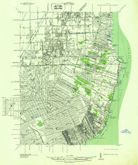
1936 · Grosse Pointe
USGS Topo · 1:31,680
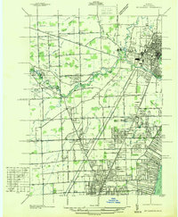
1936 · Mt Clemens
USGS Topo · 1:31,680
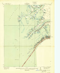
1939 · St. Clair Flats
USGS Topo · 1:24,000
1940 · Grosse Pointe
USGS Topo · 1:24,000