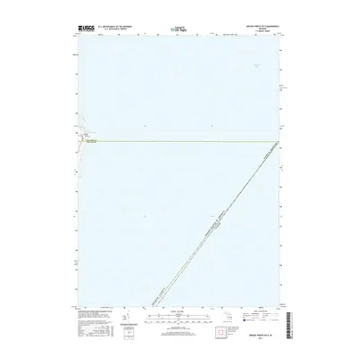
2017 Map of Grosse Pointe OE E
USGS Topo · Published 2017About this map
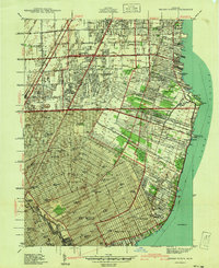
Lake Saint Clair dominates this 2017 survey, illustrating the maritime boundary and coastal geography of southeastern Michigan. This specific sheet focuses on the aquatic expanse where the United States and Canada border bisects the lake, providing a clear visualization of the international line relative to the Michigan shoreline. On the western edge of the map, the transition from Macomb County to Wayne County is recorded along the coast near Gaukler Point. The map details the immediate waterfront, including Fords Cove and a segment of Lakeshore Dr, serving as a record of the high-value residential and recreational shoreline during the mid-2010s. The sparse land-based data emphasizes the importance of the lake itself as a primary geographic feature of the region.
Find a feature on this map
8 named features on this map. Tap any name to fly to it.
Don’t see what you’re looking for? This feature index may not catch every label — zoom into the map to look around manually.
Map Details
Editions of this 2017 Grosse Pointe OE E Map
This is the sole edition of this map. No revisions or reprints were ever made.
Other maps of this area

1905 · Grosse Pointe
USGS Topo · 1:62,500

1912 · Mt Clemens
USGS Topo · 1:62,500

1914 · Algonac
USGS Topo · 1:62,500

1918 · Grosse Pointe
USGS Topo · 1:62,500

1929 · Mt Clemens
USGS Topo · 1:62,500

1936 · Selfridge Field
USGS Topo · 1:31,680
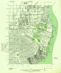
1936 · Grosse Pointe
USGS Topo · 1:31,680
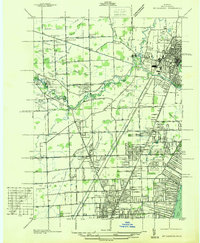
1936 · Mt Clemens
USGS Topo · 1:31,680
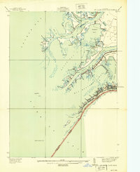
1939 · St. Clair Flats
USGS Topo · 1:24,000
1940 · Grosse Pointe
USGS Topo · 1:24,000