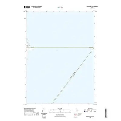
2019 Map of Grosse Pointe OE E
USGS Topo · Published 2019About this map
Lake Saint Clair dominates this maritime survey, illustrating the international boundary line where the United States of America and Canada meet mid-water. Along the western shoreline, the prestigious residential corridor of Grosse Pointe Shores is visible, tracing the edge of the lake with the prominent thoroughfare of Lakeshore Dr. The coastal geography is defined by Gaukler Point and the adjacent Fords Cove, representing a significant segment of the Lake St. Clair waterfront where the Macomb and Wayne county line intersects the shore. This digital-era map provides a precise look at the modern shoreline and political boundaries of the Great Lakes system, focusing primarily on the open water and the suburban edge of the Detroit metropolitan region.
Find a feature on this map
7 named features on this map. Tap any name to fly to it.
Don’t see what you’re looking for? This feature index may not catch every label — zoom into the map to look around manually.
Map Details
Editions of this 2019 Grosse Pointe OE E Map
This is the sole edition of this map. No revisions or reprints were ever made.
Other maps of this area
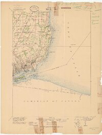
1905 · Grosse Pointe
USGS Topo · 1:62,500
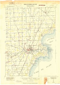
1912 · Mt Clemens
USGS Topo · 1:62,500
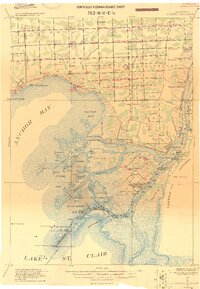
1914 · Algonac
USGS Topo · 1:62,500
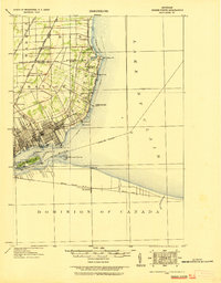
1918 · Grosse Pointe
USGS Topo · 1:62,500
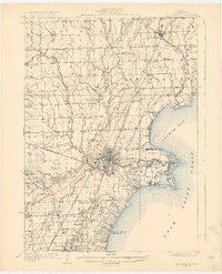
1929 · Mt Clemens
USGS Topo · 1:62,500
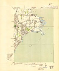
1936 · Selfridge Field
USGS Topo · 1:31,680
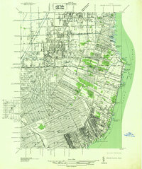
1936 · Grosse Pointe
USGS Topo · 1:31,680
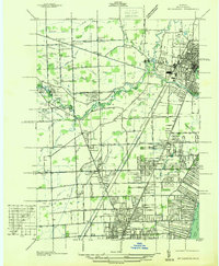
1936 · Mt Clemens
USGS Topo · 1:31,680
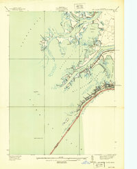
1939 · St. Clair Flats
USGS Topo · 1:24,000
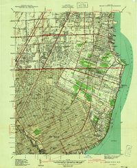
1940 · Grosse Pointe
USGS Topo · 1:24,000