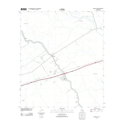
2012 Map of Grosse Tete
USGS Topo · Published 2012About this map
Grosse Tete and Rosedale anchor this Louisiana landscape, where the traditional settlement patterns along the bayous meet the infrastructure of the modern energy industry. The map reveals an area deeply intertwined with natural gas and oil extraction, evidenced by the Maringouin Oil Field, the Rosedale Oil and Gas Field, and the Grosse Tete Gas Field. Transport and logistics are central to the local economy, with the major artery of Frontage 3000 Rd cutting through the center of the quadrangle. Local heritage is preserved at sites like Mount Spur Cem and Saint Joseph Cem, while the winding courses of Grand Bayou and Cholpe Bayou continue to define the drainage of the low-lying terrain. The transition from historical plantation tracts, such as those along Trinity Plantation Rd, to contemporary residential streets like Griffin Dr illustrates the evolving footprint of Iberville Parish.
Find a feature on this map
37 named features on this map. Tap any name to fly to it.
Don’t see what you’re looking for? This feature index may not catch every label — zoom into the map to look around manually.
Map Details
Editions of this 2012 Grosse Tete Map
This is the sole edition of this map. No revisions or reprints were ever made.
Other maps of this area

1906 · Bayou Sara
USGS Topo · 1:125,000

1935 · Osca Bayou
USGS Topo · 1:62,500

1939 · Fordoche
USGS Topo · 1:62,500

1940 · Grosse Tete
USGS Topo · 1:62,500

1953 · Cow Bayou
USGS Topo · 1:24,000

1953 · Lobdell
USGS Topo · 1:24,000

1953 · Maringouin
USGS Topo · 1:24,000

1953 · Addis
USGS Topo · 1:24,000

1953 · Grosse Tete SW
USGS Topo · 1:24,000

1954 · Walls
USGS Topo · 1:24,000