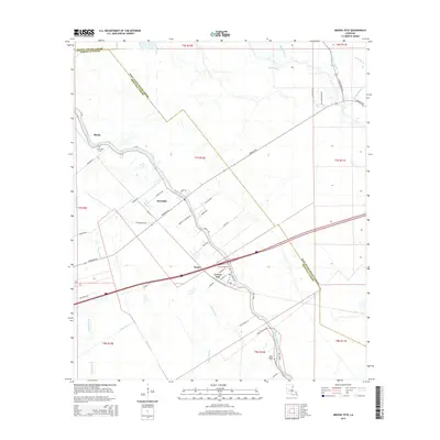
2015 Map of Grosse Tete
USGS Topo · Published 2015About this map
Bayou Grosse Tete defines the low-lying geography of Iberville Parish, its winding path anchoring a string of historic settlements including Rosedale, Webre, and Grosse Tete. This 2015 U.S. Geological Survey representation of the landscape shows the intricate system of waterways that characterize the region, from the primary channel of the bayou to Bogan Bayou, Cholpe Bayou, and the man-made Trinity Canal. The map provides specific detail for local historians, identifying family-centric landmarks and small cemeteries like Mount Spur Cem near Slacks and Saint Joseph Cem near the southern cluster of homesteads.
Find a feature on this map
53 named features on this map. Tap any name to fly to it.
Don’t see what you’re looking for? This feature index may not catch every label — zoom into the map to look around manually.
Map Details
Editions of this 2015 Grosse Tete Map
This is the sole edition of this map. No revisions or reprints were ever made.
Other maps of this area

1906 · Bayou Sara
USGS Topo · 1:125,000

1935 · Osca Bayou
USGS Topo · 1:62,500

1939 · Fordoche
USGS Topo · 1:62,500

1940 · Grosse Tete
USGS Topo · 1:62,500

1953 · Cow Bayou
USGS Topo · 1:24,000

1953 · Lobdell
USGS Topo · 1:24,000

1953 · Maringouin
USGS Topo · 1:24,000

1953 · Addis
USGS Topo · 1:24,000

1953 · Grosse Tete SW
USGS Topo · 1:24,000

1954 · Walls
USGS Topo · 1:24,000