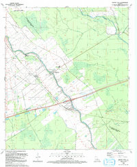
1992 Map of Grosse Tete
USGS Topo · Published 1992About this map
Bayou Grosse Tete serves as the primary artery through this Louisiana landscape, anchoring the settlements of Rosedale and Grosse Tete. The map reflects an economy built on both the fertile bayou banks and the subsurface wealth of the Maringouin Oil Field and the Rosedale Oil and Gas Field. Rural community life is well-documented through several historic institutions, including the Shady Grove Ch, Levy Sch, and the Rose Hill Ch Cem.
Find a feature on this map
42 named features on this map. Tap any name to fly to it.
Don’t see what you’re looking for? This feature index may not catch every label — zoom into the map to look around manually.
Map Details
Editions of this 1992 Grosse Tete Map
This is the sole edition of this map. No revisions or reprints were ever made.
Other maps of this area

1906 · Bayou Sara
USGS Topo · 1:125,000

1935 · Osca Bayou
USGS Topo · 1:62,500

1939 · Fordoche
USGS Topo · 1:62,500

1940 · Grosse Tete
USGS Topo · 1:62,500

1953 · Cow Bayou
USGS Topo · 1:24,000

1953 · Lobdell
USGS Topo · 1:24,000

1953 · Maringouin
USGS Topo · 1:24,000

1953 · Addis
USGS Topo · 1:24,000

1953 · Grosse Tete SW
USGS Topo · 1:24,000

1954 · Walls
USGS Topo · 1:24,000