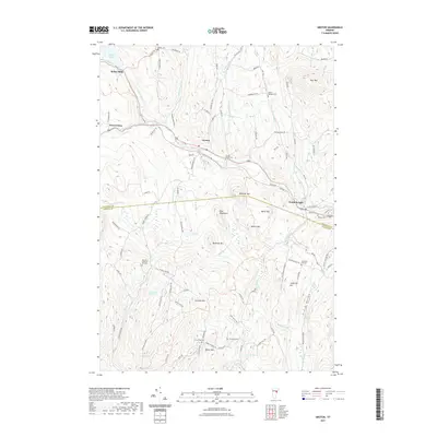
2021 Map of Groton
USGS Topo · Published 2021About this map
Wells River and its various branches, including the South Branch Wells River, define the valley floors of this Vermont landscape, connecting the settlements of Groton and South Ryegate. The concentration of cemeteries, such as the Groton Village Cem, North Ryegate Cem, and Jefferson Hill Cem, provides a detailed record of the families who settled this region between Blue Mtn and Whitcher Mtn. Evidence of early industry and community life appears in names like Ricker Mills near Ricker Pond and the Lime Kiln Cem near Mason Mtn. The terrain is marked by numerous named peaks like Burnham Mtn and Galusha Hill, with several small brooks including Darius James Brook and Peach Brook draining into the central river system.
Find a feature on this map
104 named features on this map. Tap any name to fly to it.
Don’t see what you’re looking for? This feature index may not catch every label — zoom into the map to look around manually.
Map Details
Editions of this 2021 Groton Map
This is the sole edition of this map. No revisions or reprints were ever made.
Other maps of this area

1931 · Woodsville
USGS Topo · 1:48,000

1935 · Woodsville
USGS Topo · 1:62,500

1938 · St. Johnsbury
USGS Topo · 1:48,000

1939 · Plainfield
USGS Topo · 1:48,000

1940 · Plainfield
USGS Topo · 1:62,500

1941 · Woodsville
USGS Topo · 1:62,500

1943 · Plainfield
USGS Topo · 1:62,500

1943 · St. Johnsbury
USGS Topo · 1:62,500

1947 · Corinth
USGS Topo · 1:62,500

1948 · East Barre
USGS Topo · 1:62,500