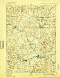
1893 Map of Groton
USGS Topo · Published 1917About this map
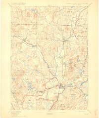
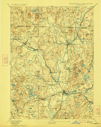
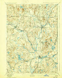
The Nashua River and its numerous tributaries, including the Nissitissit River and Squannacook River, define the industrial and agricultural landscape of this northern Massachusetts border region. During this late-19th-century period, the area was a hub of transit and communal living, notably featuring two distinct locations for Shaker Village and the well-established Groton School. The rail network is particularly dense here, with the Peterboro and Shirley Branch and the Worcester and Nashua Division connecting manufacturing centers like Paper Mill Village and Shirley Village. These rail lines supported a local economy tied to the river’s power, as seen in the cluster of depots and stations such as Hollis Depot and Townsend Harbor. The terrain is punctuated by significant elevations like The Throne and Prospect Hill, while the lowlands are characterized by extensive water bodies like Baddacook Pond and the Cow Pond Meadows.
Find a feature on this map
124 named features on this map. Tap any name to fly to it.
Don’t see what you’re looking for? This feature index may not catch every label — zoom into the map to look around manually.
Map Details
Editions of this 1893 Groton Map
8 editions found

Other maps of this area

1885 · Worcester
USGS Topo · 1:62,500

1886 · Worcester
USGS Topo · 1:62,500

1886 · Lowell
USGS Topo · 1:62,500

1886 · Framingham
USGS Topo · 1:62,500

1887 · Marlboro
USGS Topo · 1:62,500

1887 · Fitchburg
USGS Topo · 1:62,500

1889 · Marlboro
USGS Topo · 1:62,500

1889 · Fitchburg
USGS Topo · 1:62,500

1889 · Framingham
USGS Topo · 1:62,500

1892 · Worcester
USGS Topo · 1:62,500