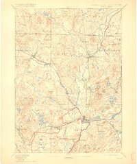
1893 Map of Groton
USGS Topo · Published 1915About this map
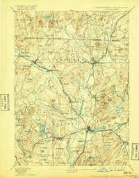
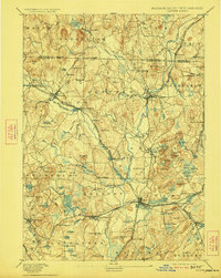
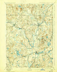
The Nashua River and its numerous tributaries, including the Squannacook River and Nissitissit River, dominate this late 19th-century landscape of northern Middlesex County. This area was a hub of industrial and educational growth, evidenced by the presence of the Groton School and specialized settlements like Paper Mill Village. The rail network is particularly dense, with the Fitchburg Railroad and the Worcester and Nashua Division of the Boston and Maine creating vital connections for towns such as Ayer, Groton, and Pepperell.
Find a feature on this map
111 named features on this map. Tap any name to fly to it.
Don’t see what you’re looking for? This feature index may not catch every label — zoom into the map to look around manually.
Map Details
Editions of this 1893 Groton Map
8 editions found

Other maps of this area

1885 · Worcester
USGS Topo · 1:62,500

1886 · Worcester
USGS Topo · 1:62,500

1886 · Lowell
USGS Topo · 1:62,500

1886 · Framingham
USGS Topo · 1:62,500

1887 · Marlboro
USGS Topo · 1:62,500

1887 · Fitchburg
USGS Topo · 1:62,500

1889 · Marlboro
USGS Topo · 1:62,500

1889 · Fitchburg
USGS Topo · 1:62,500

1889 · Framingham
USGS Topo · 1:62,500

1892 · Worcester
USGS Topo · 1:62,500