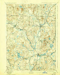
1893 Map of Groton
USGS Topo · Published 1930About this map
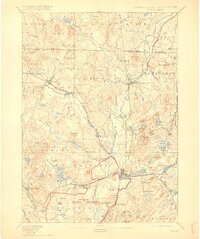
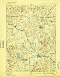
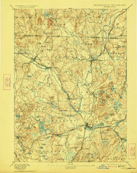
The Nashua River serves as the central artery of this late 19th-century landscape, carving a path through a region defined by industrial hamlets and agricultural townships. This period of development is marked by the proliferation of specialized settlements such as Paper Mill Village and Shaker Village, illustrating the diverse social and economic experiments of the era. The terrain is characterized by a series of prominent drumlins and hills, including The Throne and Gibbet Hill, which overlook a complex network of waterways like the Squannacook River and Nissitissit River. The rail infrastructure is particularly dense, with the Worcester and Nashua Division and the Peterboro and Shirley Branch connecting timber and manufacturing centers. Educational and spiritual life are anchored by landmarks such as the Groton School, while the presence of Numerous Hills and Swamp lands like Dead Swamp reveal the topographic constraints that shaped the town boundaries of Groton, Pepperell, and Townsend.
Find a feature on this map
119 named features on this map. Tap any name to fly to it.
Don’t see what you’re looking for? This feature index may not catch every label — zoom into the map to look around manually.
Map Details
Editions of this 1893 Groton Map
8 editions found

Other maps of this area

1885 · Worcester
USGS Topo · 1:62,500

1886 · Worcester
USGS Topo · 1:62,500

1886 · Lowell
USGS Topo · 1:62,500

1886 · Framingham
USGS Topo · 1:62,500

1887 · Marlboro
USGS Topo · 1:62,500

1887 · Fitchburg
USGS Topo · 1:62,500

1889 · Marlboro
USGS Topo · 1:62,500

1889 · Fitchburg
USGS Topo · 1:62,500

1889 · Framingham
USGS Topo · 1:62,500

1892 · Worcester
USGS Topo · 1:62,500