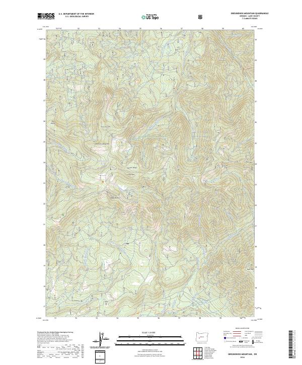
2024 Map of Groundhog Mountain
USGS Topo · Published 2024About this map
The Willamette National Forest dominates this section of the Oregon Cascades, defined by a network of drainage basins and high-elevation ridges. The topography is anchored by Groundhog Mtn and Little Groundhog Mtn at its center, with the notable Waterdog Lake positioned on the western slopes. This 2024 survey documents the hydrography of the region, where the North Fork Groundhog Creek and South Fork Groundhog Creek converge. The landscape is marked by several significant peaks including Moss Mtn and Bear Mtn in the east, and Logger Butte to the south. While largely an undeveloped wilderness, the map traces specific recreational access points like the Middle Fork Trl and Pool Creek Trl, alongside the distinct open clearing of Joes Prairie near the northwestern boundary.
Find a feature on this map
53 named features on this map. Tap any name to fly to it.
Don’t see what you’re looking for? This feature index may not catch every label — zoom into the map to look around manually.
Map Details
Editions of this 2024 Groundhog Mountain Map
This is the sole edition of this map. No revisions or reprints were ever made.
Other maps of this area

1917 · Diamond Lake
USGS Topo · 1:125,000

1925 · Waldo Lake
USGS Topo · 1:125,000

1956 · Toketee Falls
USGS Topo · 1:62,500

1956 · Waldo Lake
USGS Topo · 1:62,500

1956 · Summit Lake
USGS Topo · 1:62,500

1956 · Oakridge
USGS Topo · 1:62,500

1958 · Roseburg
USGS Topo · 1:250,000

1959 · Roseburg
USGS Topo · 1:250,000

1978 · Diamond Lake
USGS Topo · 1:100,000

1983 · Oakridge
USGS Topo · 1:100,000