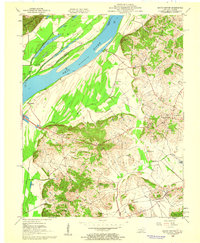
1959 Map of Grove Center
USGS Topo · Published 1960About this map
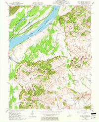
Ohio River bottomlands and the rugged elevations of Union County define this late 1950s landscape where the river forms the border between Illinois and Kentucky. The area is characterized by a high concentration of oxbow lakes and wetlands, such as Fish Lake, Big Lake, and Goose Pond, reflecting the historical flood patterns of the river valley. In the southern half of the map, the terrain rises sharply into the Dyer Hills and Bald Hill, where small farming communities and churches such as Shiloh Ch and Mt Olive Ch are situated. The settlement of Grove Center serves as a local hub near the southern margin, while the presence of numerous Oil Wells across the hillsides indicates the region's mid-century energy production. For the genealogist, the map details established rural landmarks including Zion Cem and Woodland Cem, providing a clear record of the community's footprint before modern agricultural and industrial changes.
Find a feature on this map
37 named features on this map. Tap any name to fly to it.
Don’t see what you’re looking for? This feature index may not catch every label — zoom into the map to look around manually.
Map Details
Editions of this 1959 Grove Center Map
2 editions found
Other maps of this area

1905 · New Haven
USGS Topo · 1:62,500

1906 · New Haven
USGS Topo · 1:62,500

1907 · Morganfield
USGS Topo · 1:62,500

1916 · Shawneetown
USGS Topo · 1:62,500

1917 · Uniontown
USGS Topo · 1:62,500

1949 · Paducah
USGS Topo · 1:250,000

1949 · New Haven
USGS Topo · 1:62,500

1949 · Morganfield
USGS Topo · 1:24,000

1950 · Paducah
USGS Topo · 1:250,000

1951 · Sturgis
USGS Topo · 1:24,000