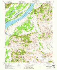
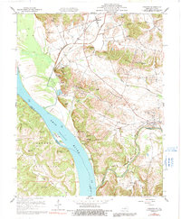
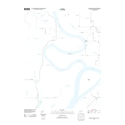
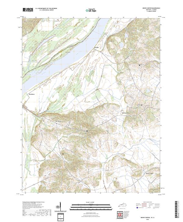
1959 Map of Grove Center
USGS Topo · Published 1977About this map
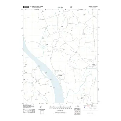
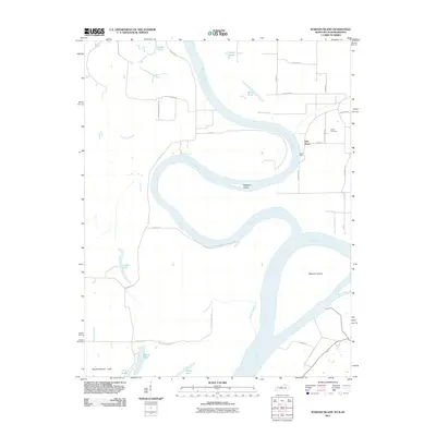
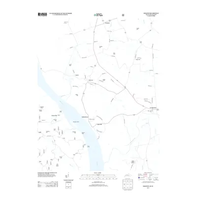
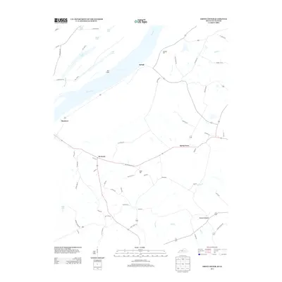
The Ohio River dominates this mid-century landscape, separating the borderlands of Illinois and Kentucky while shaping the local economy and geography. Large islands such as Shawnee Island and Bell Island sit within the river's channel, surrounded by complex wetlands including Millrace Slough, Big Lake, and Goose Pond. The Kentucky side is characterized by scattered small communities like Grove Center, Blackburn, and Spring Grove, which are anchored by local landmarks such as Shiloh Ch and Woodland Ch. In the uplands away from the floodplain, numerous Oil Wells dot the terrain near Grundy Hill and Bald Hill, indicating the active extraction of natural resources in the late 1950s. The intricate network of lakes like Fehrer Lake and Geiger Lake alongside the Ditch systems reflects a landscape defined by both natural water features and agricultural drainage efforts.
Find a feature on this map
35 named features on this map. Tap any name to fly to it.
Don’t see what you’re looking for? This feature index may not catch every label — zoom into the map to look around manually.
Map Details
Editions of this 1959 Grove Center Map
2 editions found
Historical Maps of Blackburn Through Time
21 maps found
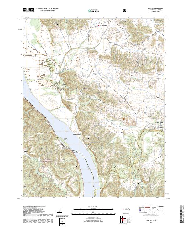
1953 Dekoven
Union County, KY
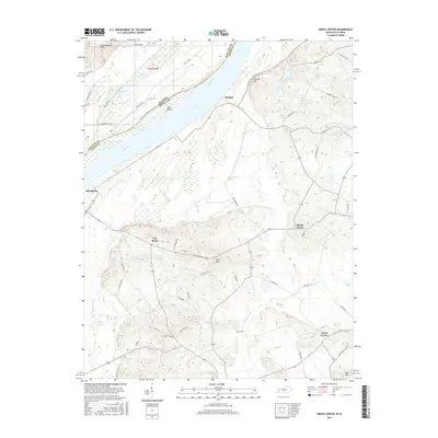
1953 Grove Center
Union County, KY
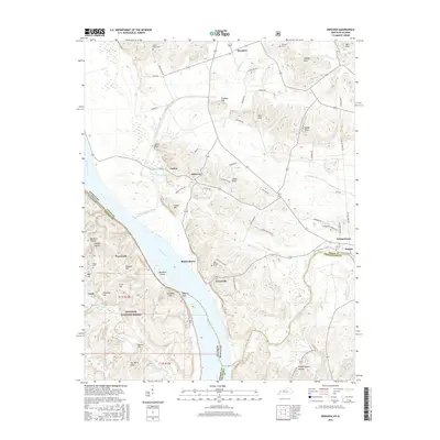
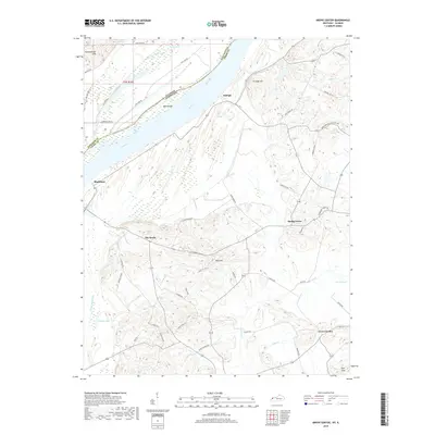
1959 Dekoven
Union County, KY
1959 Grove Center
Union County, KY
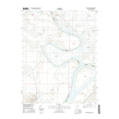
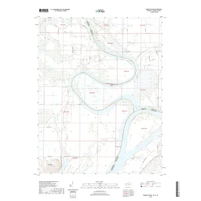
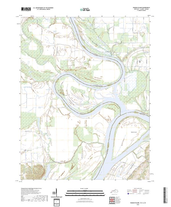
1981 Wabash Island
Union County, KY
1996 Dekoven
Union County, KY
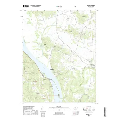
2010 Grove Center
Union County, KY
2011 Dekoven
Union County, KY
2011 Wabash Island
Union County, KY
2013 Dekoven
Union County, KY
2013 Grove Center
Union County, KY
2013 Wabash Island
Union County, KY
2016 Dekoven
Union County, KY
2016 Grove Center
Union County, KY
2016 Wabash Island
Union County, KY
2019 Dekoven
Union County, KY
2019 Grove Center
Union County, KY
2019 Wabash Island
Union County, KY
2022 Dekoven
Union County, KY
2022 Grove Center
Union County, KY
2022 Wabash Island
Union County, KY