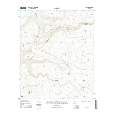
2014 Map of Grove Oak
USGS Topo · Published 2014About this map
Sand Mountain defines the upland geography of this 2014 survey, where the borders of Marshall, DeKalb, and Jackson counties converge near the settlement of Grove Oak. The landscape is deeply carved by water, most notably at Bucks Pocket and where Town Creek flows toward the High Falls Natural Bridge. These drainages create sharp topographic relief at landmarks like Point Rock and The Narrows, contrasting with the relatively level agricultural plateaus above.
Find a feature on this map
132 named features on this map. Tap any name to fly to it.
Don’t see what you’re looking for? This feature index may not catch every label — zoom into the map to look around manually.
Map Details
Editions of this 2014 Grove Oak Map
This is the sole edition of this map. No revisions or reprints were ever made.
Other maps of this area

1885 · Gadsden
USGS Topo · 1:125,000

1886 · Stevenson
USGS Topo · 1:125,000

1888 · Gadsden
USGS Topo · 1:125,000

1888 · Scottsboro
USGS Topo · 1:125,000

1892 · Scottsboro
USGS Topo · 1:125,000

1892 · Stevenson
USGS Topo · 1:125,000

1892 · Gadsden
USGS Topo · 1:125,000

1893 · Fort Payne
USGS Topo · 1:125,000

1895 · Stevenson
USGS Topo · 1:125,000

1895 · Gadsden
USGS Topo · 1:125,000