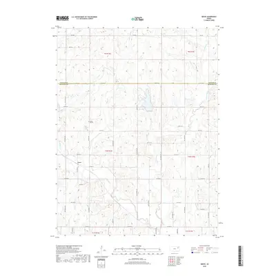
2018 Map of Grove
USGS Topo · Published 2018About this map
Grove sits at the heart of this Shawnee County landscape, where the prairie begins to break into the drainage systems of northern Kansas. The settlement is defined by a traditional grid of rural routes, including NW 66th St and NW Tibbs Rd, which navigate the undulating terrain between several significant waterways. The map captures a complex hydrological network led by Soldier Cr and its tributaries, Little Soldier Cr and Messhoss Cr, which carve distinct valleys across the township lines. For those researching local family history, Walnut Hill Cem stands as a primary landmark near Walnut Cr. The 2018 data illustrates a landscape of large-lot rural holdings and agriculture, anchored by a network of section-line roads like NW Humphrey Rd that bridge the gaps between these riparian corridors.
Find a feature on this map
41 named features on this map. Tap any name to fly to it.
Don’t see what you’re looking for? This feature index may not catch every label — zoom into the map to look around manually.
Map Details
Editions of this 2018 Grove Map
This is the sole edition of this map. No revisions or reprints were ever made.
Other maps of this area
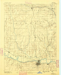
1889 · Topeka
USGS Topo · 1:125,000
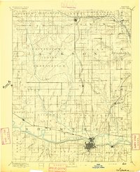
1894 · Topeka
USGS Topo · 1:125,000
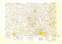
1950 · Kansas City
USGS Topo · 1:250,000
1950 · Topeka
USGS Topo · 1:24,000
1951 · Topeka
USGS Topo · 1:24,000
1952 · Rossville
USGS Topo · 1:24,000
1952 · Silver Lake
USGS Topo · 1:24,000
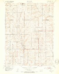
1952 · Elmont
USGS Topo · 1:24,000
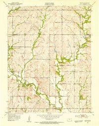
1952 · Grove
USGS Topo · 1:24,000
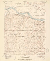
1952 · Willard
USGS Topo · 1:24,000